Transport Functions
Rail
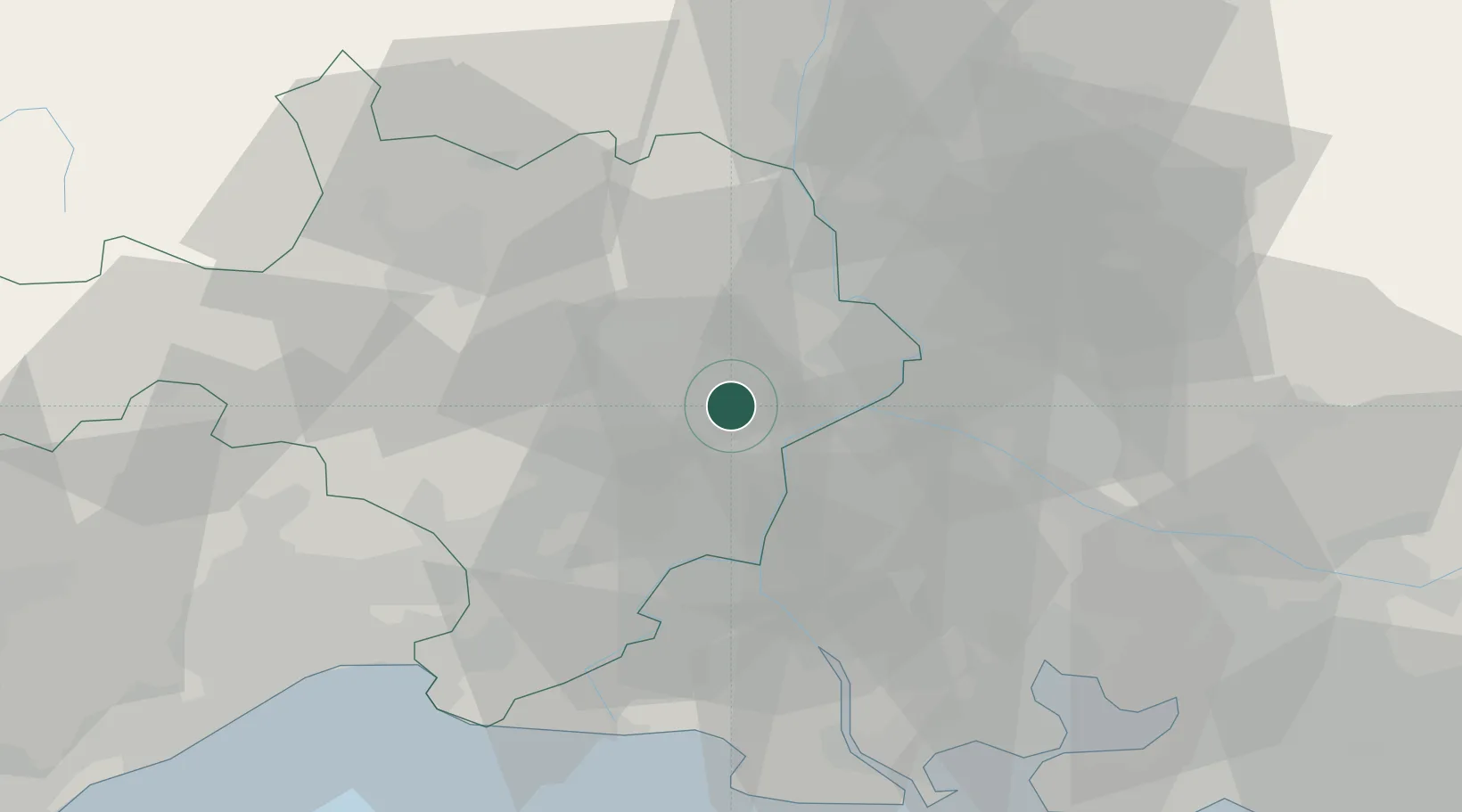
Hub Profile
Place type
Populated place
Region
Occitanie
Population
2,164
Time zone
Europe/Paris
Elevation
28 m
Location
Nearby Logistics Neighbours
Cities
- 1Sernhac2 km
- 2Fournès3 km
- 3Saint-Hilaire-d'Ozilhan4 km
- 4Castillon-du-Gard4 km
- 5Lédenon4 km
Ports
- 1Fos63 km
- 2Port Saint Louis Du Rhone64 km
- 3Port-de-Bouc68 km
- 4Sete92 km
- 5Marseille94 km
Airports
Trade Zones
- 1ZFU Avignon19 km
- 2ZFU Nîmes22 km
- 3ZFU Montpellier68 km
- 4ZFU Saint-Barthélémy, Le Canet, Delorme-Paternelle91 km
- 5ZFU Marseille 15e et 16e93 km
DatabookThe Record of Consolidated Knowledge
France beyond logistics?