Transport Functions
Rail
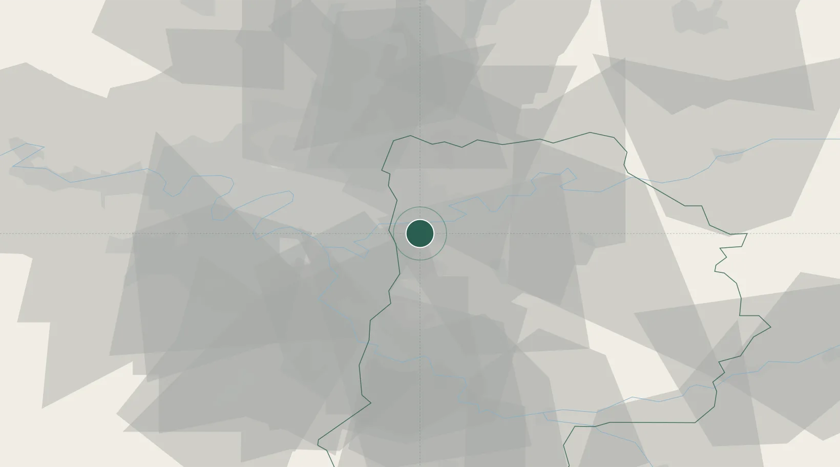
Hub Profile
Place type
District seat
Region
Île-de-France
Population
24,386
Time zone
Europe/Paris
Elevation
100 m
Location
Nearby Logistics Neighbours
Cities
- 1Vaires-sur-Marne2 km
- 2Marne-la-Vallée2 km
- 3Saint-Thibault-des-Vignes3 km
- 4Bussy-Saint-Martin3 km
- 5Brou-sur-Chantereine4 km
Ports
- 1Port Of Rouen133 km
- 2Le Treport164 km
- 3Dieppe165 km
- 4Saint-Valery-Sur-Somme166 km
- 5Honfleur188 km
Airports
Trade Zones
DatabookThe Record of Consolidated Knowledge
France beyond logistics?