Transport Functions
Multimodal
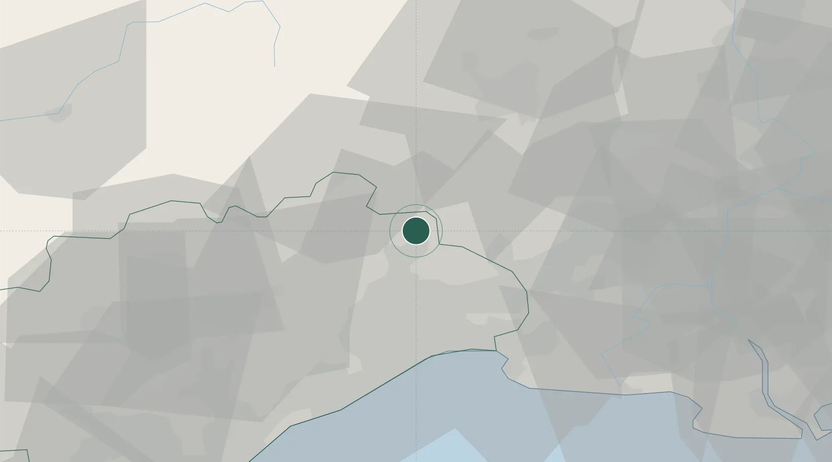
Hub Profile
Place type
Populated place
Region
Occitanie
Population
336
Time zone
Europe/Paris
Elevation
128 m
Location
Nearby Logistics Neighbours
Cities
- 1Vacquières3 km
- 2Fontanès4 km
- 3Corconne4 km
- 4Carnas5 km
- 5Saint-Bauzille-de-Montmel8 km
Ports
- 1Sete51 km
- 2Port Saint Louis Du Rhone88 km
- 3Fos91 km
- 4Port-de-Bouc99 km
- 5Port-La-Nouvelle114 km
Airports
Trade Zones
- 1ZFU Montpellier26 km
- 2ZFU Nîmes34 km
- 3ZFU Avignon72 km
- 4ZFU Béziers79 km
- 5ZFU Saint-Barthélémy, Le Canet, Delorme-Paternelle123 km
DatabookThe Record of Consolidated Knowledge
France beyond logistics?