UN/LOCODE hub · France
FRBM2

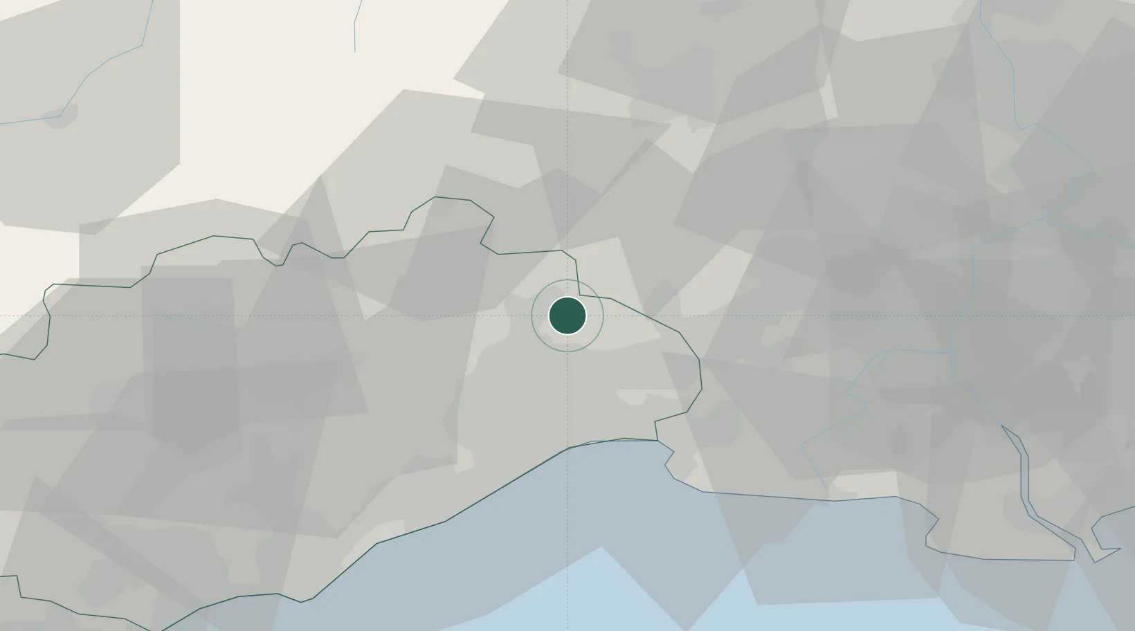
Saint-Bauzille-de-Montmel

43.7667°, 3.9500°
825
Population
1
Transport functions

Transport Functions

Multimodal
UN/LOCODE

Hub Profile

Place type
Populated place
GeoNames
Region
Occitanie
GeoNames
Population
825
GeoNames
Time zone
Europe/Paris
GeoNames
Elevation
118 m
GeoNames

Location

Location of FRBM2
Natural Earth 10m (public domain) · Occitanie · FRBM2 · 43.77, 3.95GoogleOSMYandex

Nearby Logistics Neighbours

Cities
  1. 1Buzignargues4 km
  2. 2Fontanès5 km
  3. 3Galargues5 km
  4. 4Campagne7 km
  5. 5Carnas8 km
Nearest neighbours — logibook spatial index (haversine) over the source coordinates
Ports
  1. 1Sete46 km
  2. 2Port Saint Louis Du Rhone82 km
  3. 3Fos85 km
  4. 4Port-de-Bouc93 km
  5. 5Port-La-Nouvelle110 km
Nearest neighbours — logibook spatial index (haversine) over the source coordinates
Airports
  1. 1Montpellier-Méditerranée Airport21 km
  2. 2Aérodrome d'Alès Cévennes37 km
  3. 3Nîmes-Arles-Camargue Airport38 km
  4. 4Béziers Vias airport69 km
  5. 5Avignon Caumont airport78 km
Nearest neighbours — logibook spatial index (haversine) over the source coordinates
Trade Zones
  1. 1ZFU Montpellier20 km
  2. 2ZFU Nîmes32 km
  3. 3ZFU Avignon71 km
  4. 4ZFU Béziers76 km
  5. 5ZFU Saint-Barthélémy, Le Canet, Delorme-Paternelle117 km
Nearest neighbours — logibook spatial index (haversine) over the source coordinates
DatabookThe Record of Consolidated Knowledge
France beyond logistics?
Browse databook

All Sources

LocationsUN/LOCODE
UN/LOCODE — free
LocationsGeoNames
CC BY 4.0
Portsthe NGA World Port Index
Public domain (US gov)
AirportsOurAirports
Public domain
Trade Zonesthe World Bank SEZ database
CC BY 4.0
Trade ZonesOpen Zone Map
CC BY
← France locations