Transport Functions
Port
Rail
Hub Profile
Place type
Provincial seat
Region
Bourgogne
Population
35,484
Time zone
Europe/Paris
Elevation
208 m
Logistics facilities
1
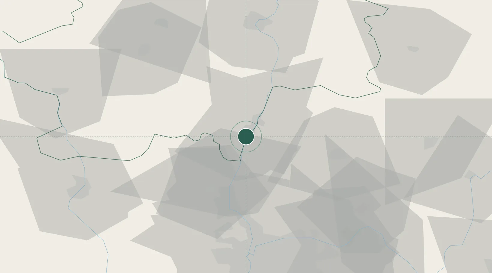
Location
Nearby Logistics Neighbours
Cities
- 1Loché4 km
- 2Vinzelles5 km
- 3Crêches-sur-Saône5 km
- 4Sancé6 km
- 5Saint-Amour-Bellevue7 km
Ports
- 1Fos319 km
- 2Port-de-Bouc321 km
- 3Port Saint Louis Du Rhone322 km
- 4Sete333 km
- 5Marseille333 km
Airports
- 1Mâcon-Charnay Airfield3 km
- 2Ambérieu Air Base (BA 278)51 km
- 3Lyon Bron Airport62 km
- 4Saint-Yan Airport64 km
- 5Lyon Saint-Exupéry Airport65 km
Trade Zones
- 1ZFU Rillieux-la-Pape51 km
- 2ZFU Vaulx-en-Velin56 km
- 3ZFU Lyon 9e57 km
- 4ZFU Vénissieux65 km
- 5Geneva Cointrin International Airport Free Port97 km
DatabookThe Record of Consolidated Knowledge
France beyond logistics?