UN/LOCODE hub · France
FRBSS

Belleville-en-Beaujolais

46.1000°, 4.7333°
3
Transport functions

Transport Functions

Rail
Road
Multimodal
UN/LOCODE

Hub Profile

Region
69
GeoNames

Location

Location of FRBSS
Natural Earth 10m (public domain) · 69 · FRBSS · 46.10, 4.73GoogleOSMYandex

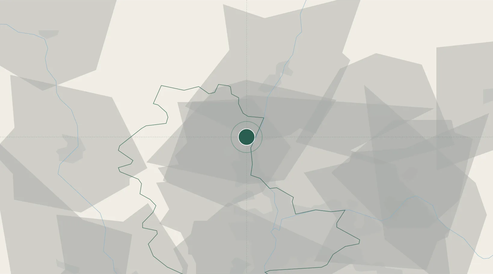
Nearby Logistics Neighbours

Cities
  1. 1Taponas3 km
  2. 2Charentay4 km
  3. 3Cercié6 km
  4. 4Saint-Lager6 km
  5. 5Corcelles-en-Beaujolais6 km
Nearest neighbours — logibook spatial index (haversine) over the source coordinates
Ports
  1. 1Fos299 km
  2. 2Port-de-Bouc301 km
  3. 3Port Saint Louis Du Rhone302 km
  4. 4Sete311 km
  5. 5Marseille314 km
Nearest neighbours — logibook spatial index (haversine) over the source coordinates
Airports
  1. 1Mâcon-Charnay Airfield22 km
  2. 2Lyon Bron Airport45 km
  3. 3Ambérieu Air Base (BA 278)48 km
  4. 4Lyon Saint-Exupéry Airport50 km
  5. 5Roanne-Renaison Airport57 km
Nearest neighbours — logibook spatial index (haversine) over the source coordinates
Trade Zones
  1. 1ZFU Rillieux-la-Pape32 km
  2. 2ZFU Lyon 9e37 km
  3. 3ZFU Vaulx-en-Velin38 km
  4. 4ZFU Vénissieux46 km
  5. 5ZFU Saint-Etienne83 km
Nearest neighbours — logibook spatial index (haversine) over the source coordinates
DatabookThe Record of Consolidated Knowledge
France beyond logistics?
Browse databook

All Sources

LocationsUN/LOCODE
UN/LOCODE — free
Portsthe NGA World Port Index
Public domain (US gov)
AirportsOurAirports
Public domain
Trade Zonesthe World Bank SEZ database
CC BY 4.0
Trade ZonesOpen Zone Map
CC BY
← France locations