Transport Functions
Rail
Road
Hub Profile
Place type
Populated place
Region
Rhône-Alpes
Time zone
Europe/Paris
Elevation
280 m
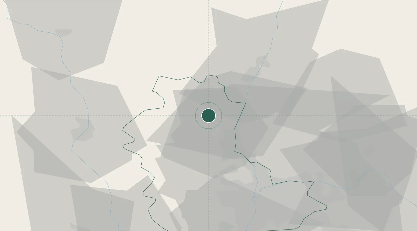
Location
Nearby Logistics Neighbours
Cities
- 1Cercié3 km
- 2Saint-Lager3 km
- 3Saint-Étienne-la-Varenne4 km
- 4Charentay5 km
- 5Le Perréon6 km
Ports
- 1Fos301 km
- 2Port-de-Bouc303 km
- 3Port Saint Louis Du Rhone304 km
- 4Sete311 km
- 5Marseille317 km
Airports
- 1Mâcon-Charnay Airfield24 km
- 2Roanne-Renaison Airport49 km
- 3Lyon Bron Airport50 km
- 4Ambérieu Air Base (BA 278)56 km
- 5Lyon Saint-Exupéry Airport56 km
Trade Zones
- 1ZFU Rillieux-la-Pape37 km
- 2ZFU Lyon 9e40 km
- 3ZFU Vaulx-en-Velin44 km
- 4ZFU Vénissieux50 km
- 5ZFU Saint-Etienne81 km
DatabookThe Record of Consolidated Knowledge
France beyond logistics?