Transport Functions
Multimodal
Hub Profile
Place type
Populated place
Region
Rhône-Alpes
Population
1,085
Time zone
Europe/Paris
Elevation
301 m
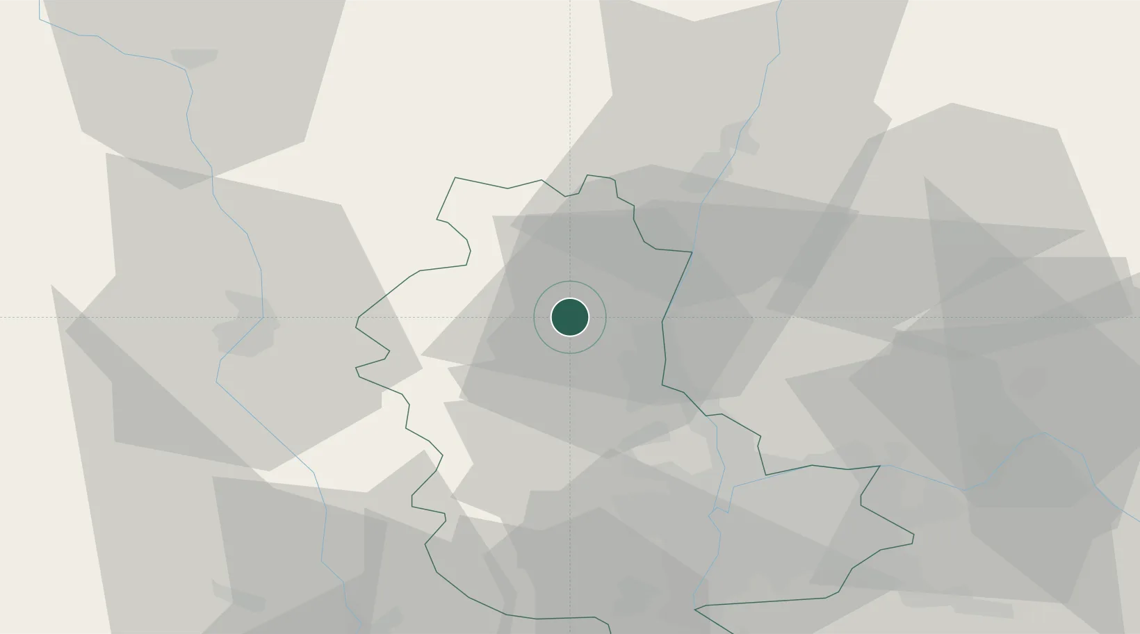
Location
Nearby Logistics Neighbours
Cities
Ports
- 1Fos296 km
- 2Port-de-Bouc298 km
- 3Port Saint Louis Du Rhone299 km
- 4Sete305 km
- 5Marseille312 km
Airports
- 1Mâcon-Charnay Airfield30 km
- 2Lyon Bron Airport46 km
- 3Roanne-Renaison Airport46 km
- 4Lyon Saint-Exupéry Airport54 km
- 5Ambérieu Air Base (BA 278)57 km
Trade Zones
- 1ZFU Rillieux-la-Pape33 km
- 2ZFU Lyon 9e36 km
- 3ZFU Vaulx-en-Velin40 km
- 4ZFU Vénissieux45 km
- 5ZFU Saint-Etienne75 km
DatabookThe Record of Consolidated Knowledge
France beyond logistics?