UN/LOCODE hub · France
FREIV
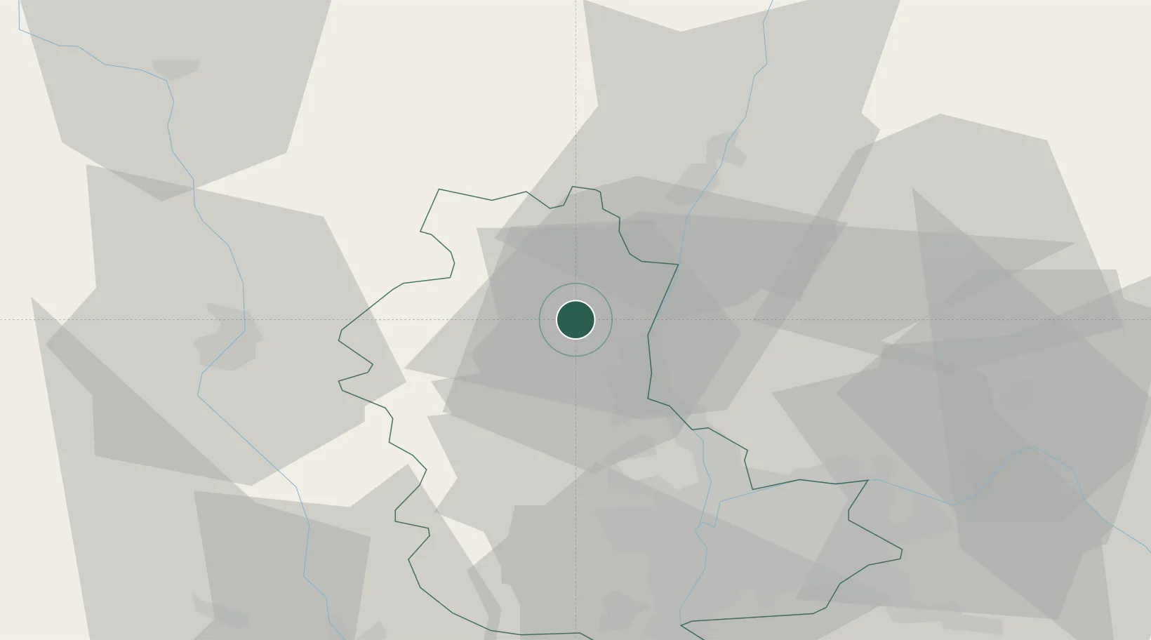
Saint-Étienne-la-Varenne
46.0833°, 4.6333°
646
Population
2
Transport functions
Transport Functions
Road
Multimodal
Hub Profile
Place type
Populated place
Region
Rhône-Alpes
Population
646
Time zone
Europe/Paris
Elevation
380 m
Location
Nearby Logistics Neighbours
Cities
- 1Le Perréon3 km
- 2Régnié-Durette4 km
- 3Charentay4 km
- 4Cercié5 km
- 5Saint-Lager5 km
Ports
- 1Fos297 km
- 2Port-de-Bouc300 km
- 3Port Saint Louis Du Rhone301 km
- 4Sete307 km
- 5Marseille313 km
Airports
- 1Mâcon-Charnay Airfield27 km
- 2Lyon Bron Airport46 km
- 3Roanne-Renaison Airport49 km
- 4Lyon Saint-Exupéry Airport53 km
- 5Ambérieu Air Base (BA 278)55 km
Trade Zones
- 1ZFU Rillieux-la-Pape34 km
- 2ZFU Lyon 9e37 km
- 3ZFU Vaulx-en-Velin40 km
- 4ZFU Vénissieux46 km
- 5ZFU Saint-Etienne78 km
DatabookThe Record of Consolidated Knowledge
France beyond logistics?