Transport Functions
Road
Multimodal
Hub Profile
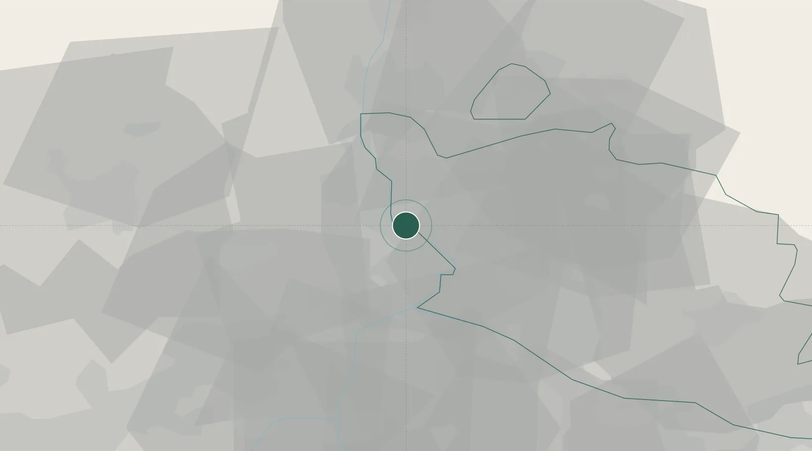
Place type
Populated place
Region
Provence-Alpes-Côte d'Azur
Population
2,663
Time zone
Europe/Paris
Elevation
30 m
Location
Nearby Logistics Neighbours
Cities
- 1Montfaucon4 km
- 2l'Ardoise4 km
- 3Orange7 km
- 4Saint-Laurent-des-Arbres7 km
- 5Orsan8 km
Ports
- 1Fos77 km
- 2Port Saint Louis Du Rhone80 km
- 3Port-de-Bouc80 km
- 4Marseille100 km
- 5Sete115 km
Airports
Trade Zones
- 1ZFU Avignon17 km
- 2ZFU Nîmes45 km
- 3ZFU Montpellier91 km
- 4ZFU Valence92 km
- 5ZFU Marseille 15e et 16e99 km
DatabookThe Record of Consolidated Knowledge
France beyond logistics?