Transport Functions
Multimodal
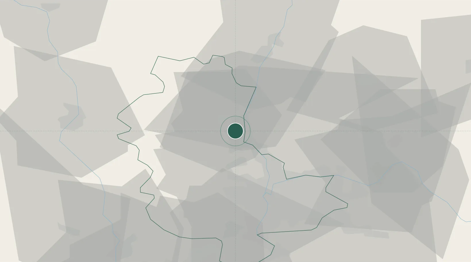
Hub Profile
Place type
Populated place
Region
Rhône-Alpes
Time zone
Europe/Paris
Elevation
219 m
Location
Nearby Logistics Neighbours
Cities
- 1Villefranche-sur-Saône2 km
- 2Fareins4 km
- 3Denicé5 km
- 4Saint-Julien5 km
- 5Pommiers6 km
Ports
- 1Fos288 km
- 2Port-de-Bouc290 km
- 3Port Saint Louis Du Rhone291 km
- 4Sete300 km
- 5Marseille303 km
Airports
- 1Mâcon-Charnay Airfield33 km
- 2Lyon Bron Airport35 km
- 3Lyon Saint-Exupéry Airport42 km
- 4Ambérieu Air Base (BA 278)47 km
- 5Roanne-Renaison Airport56 km
Trade Zones
- 1ZFU Rillieux-la-Pape22 km
- 2ZFU Lyon 9e26 km
- 3ZFU Vaulx-en-Velin29 km
- 4ZFU Vénissieux35 km
- 5ZFU Saint-Etienne72 km
DatabookThe Record of Consolidated Knowledge
France beyond logistics?