Transport Functions
Road
Multimodal
Hub Profile
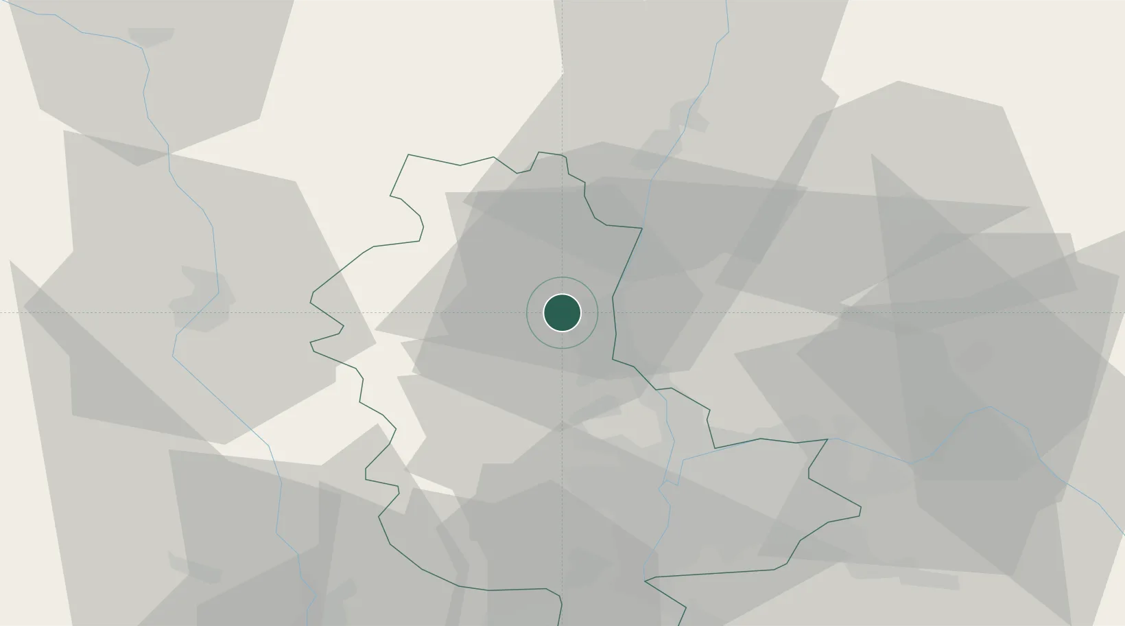
Place type
Populated place
Region
Rhône-Alpes
Population
820
Time zone
Europe/Paris
Elevation
247 m
Location
Nearby Logistics Neighbours
Cities
- 1Blacé1 km
- 2Salles-Arbuissonnas-en-Beaujolais3 km
- 3Denicé4 km
- 4Montmelas-Saint-Sorlin4 km
- 5Quincieu5 km
Ports
- 1Fos292 km
- 2Port-de-Bouc294 km
- 3Port Saint Louis Du Rhone295 km
- 4Sete303 km
- 5Marseille307 km
Airports
- 1Mâcon-Charnay Airfield31 km
- 2Lyon Bron Airport40 km
- 3Lyon Saint-Exupéry Airport47 km
- 4Ambérieu Air Base (BA 278)51 km
- 5Roanne-Renaison Airport52 km
Trade Zones
- 1ZFU Rillieux-la-Pape27 km
- 2ZFU Lyon 9e31 km
- 3ZFU Vaulx-en-Velin34 km
- 4ZFU Vénissieux40 km
- 5ZFU Saint-Etienne74 km
DatabookThe Record of Consolidated Knowledge
France beyond logistics?