UN/LOCODE hub · France
FRVSS
Villefranche-sur-Saône
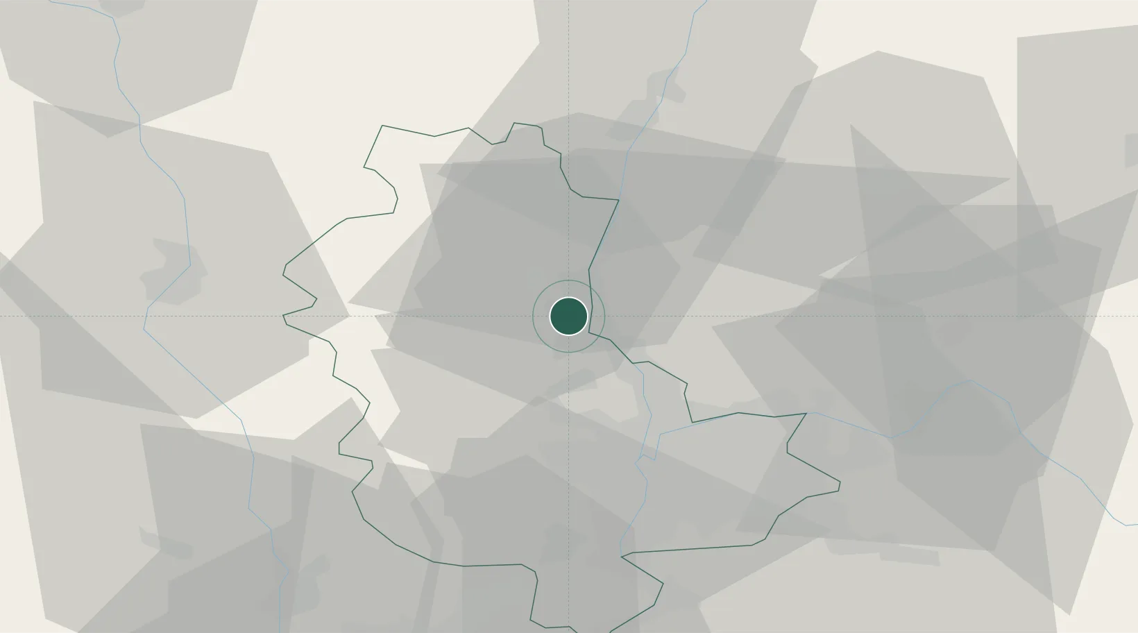
45.9833°, 4.7167°
32,994
Population
3
Transport functions
Transport Functions
Port
Rail
Airport
Hub Profile
Place type
District seat
Region
Rhône-Alpes
Population
32,994
Time zone
Europe/Paris
Elevation
188 m
Location
Nearby Logistics Neighbours
Ports
- 1Fos286 km
- 2Port-de-Bouc288 km
- 3Port Saint Louis Du Rhone289 km
- 4Sete298 km
- 5Marseille301 km
Airports
- 1Lyon Bron Airport33 km
- 2Mâcon-Charnay Airfield35 km
- 3Lyon Saint-Exupéry Airport41 km
- 4Ambérieu Air Base (BA 278)47 km
- 5Roanne-Renaison Airport56 km
Trade Zones
- 1ZFU Rillieux-la-Pape21 km
- 2ZFU Lyon 9e24 km
- 3ZFU Vaulx-en-Velin28 km
- 4ZFU Vénissieux34 km
- 5ZFU Saint-Etienne70 km
DatabookThe Record of Consolidated Knowledge
France beyond logistics?