Transport Functions
Multimodal
Hub Profile
Place type
Populated place
Region
Occitanie
Population
447
Time zone
Europe/Paris
Elevation
135 m
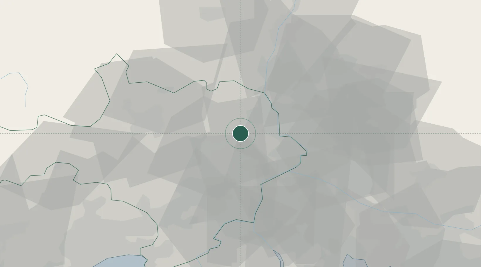
Location
Nearby Logistics Neighbours
Cities
- 1Cavillargues3 km
- 2Gaujac4 km
- 3La Bastide-d'Engras5 km
- 4Sabran6 km
- 5Pouzilhac6 km
Ports
- 1Fos81 km
- 2Port Saint Louis Du Rhone83 km
- 3Port-de-Bouc85 km
- 4Sete104 km
- 5Marseille109 km
Airports
Trade Zones
- 1ZFU Avignon26 km
- 2ZFU Nîmes35 km
- 3ZFU Montpellier79 km
- 4ZFU Valence95 km
- 5ZFU Saint-Barthélémy, Le Canet, Delorme-Paternelle107 km
DatabookThe Record of Consolidated Knowledge
France beyond logistics?