UN/LOCODE hub · France
FRBE3
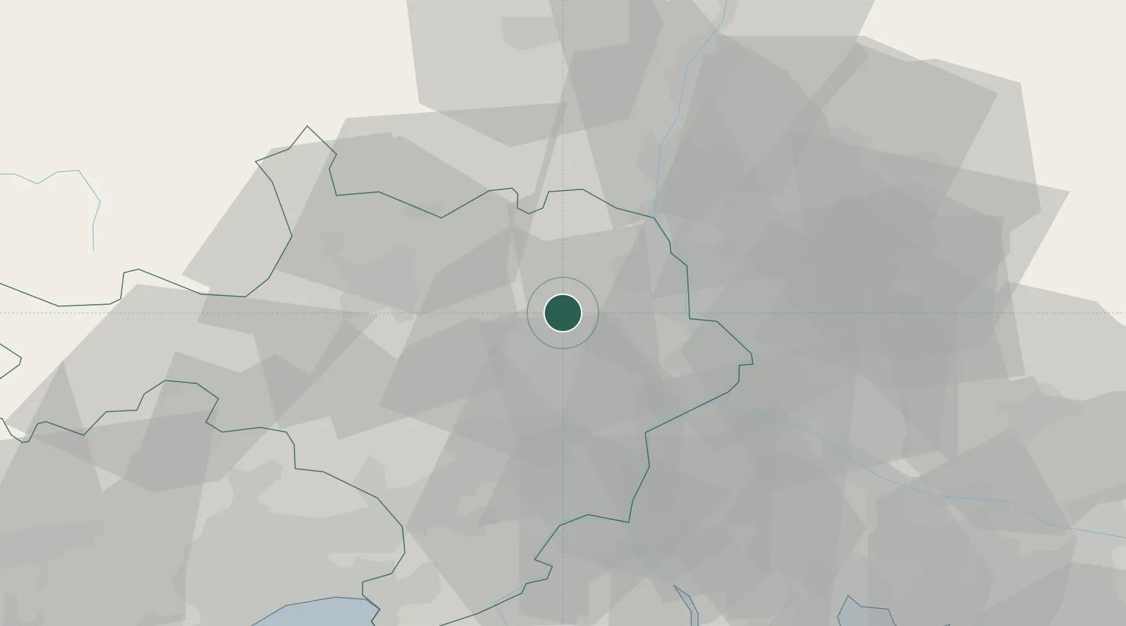
La Bastide-d'Engras
44.1000°, 4.4833°
202
Population
1
Transport functions
Transport Functions
Multimodal
Hub Profile
Place type
Populated place
Region
Occitanie
Population
202
Time zone
Europe/Paris
Elevation
248 m
Location
Nearby Logistics Neighbours
Cities
- 1Cavillargues3 km
- 2Saint-Pons-la-Calm5 km
- 3Gaujac8 km
- 4Sabran8 km
- 5Pouzilhac10 km
Ports
- 1Fos83 km
- 2Port Saint Louis Du Rhone84 km
- 3Port-de-Bouc88 km
- 4Sete100 km
- 5Marseille112 km
Airports
Trade Zones
- 1ZFU Avignon31 km
- 2ZFU Nîmes33 km
- 3ZFU Montpellier75 km
- 4ZFU Valence96 km
- 5ZFU Saint-Barthélémy, Le Canet, Delorme-Paternelle110 km
DatabookThe Record of Consolidated Knowledge
France beyond logistics?