UN/LOCODE hub · France
FRCSD
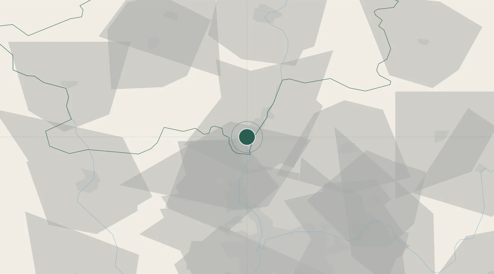
Crêches-sur-Saône
46.2500°, 4.7833°
2,793
Population
3
Transport functions
Transport Functions
Port
Rail
Road
Hub Profile
Place type
Populated place
Region
Bourgogne
Population
2,793
Time zone
Europe/Paris
Elevation
177 m
Location
Nearby Logistics Neighbours
Cities
- 1Vinzelles2 km
- 2Saint-Amour-Bellevue3 km
- 3Loché4 km
- 4Mâcon5 km
- 5Leynes6 km
Ports
- 1Fos315 km
- 2Port-de-Bouc317 km
- 3Port Saint Louis Du Rhone319 km
- 4Sete328 km
- 5Marseille329 km
Airports
- 1Mâcon-Charnay Airfield5 km
- 2Ambérieu Air Base (BA 278)51 km
- 3Lyon Bron Airport59 km
- 4Saint-Yan Airport62 km
- 5Lyon Saint-Exupéry Airport63 km
Trade Zones
- 1ZFU Rillieux-la-Pape47 km
- 2ZFU Lyon 9e53 km
- 3ZFU Vaulx-en-Velin53 km
- 4ZFU Vénissieux62 km
- 5ZFU Saint-Etienne99 km
DatabookThe Record of Consolidated Knowledge
France beyond logistics?