Transport Functions
Port
Multimodal
Hub Profile
Region
26
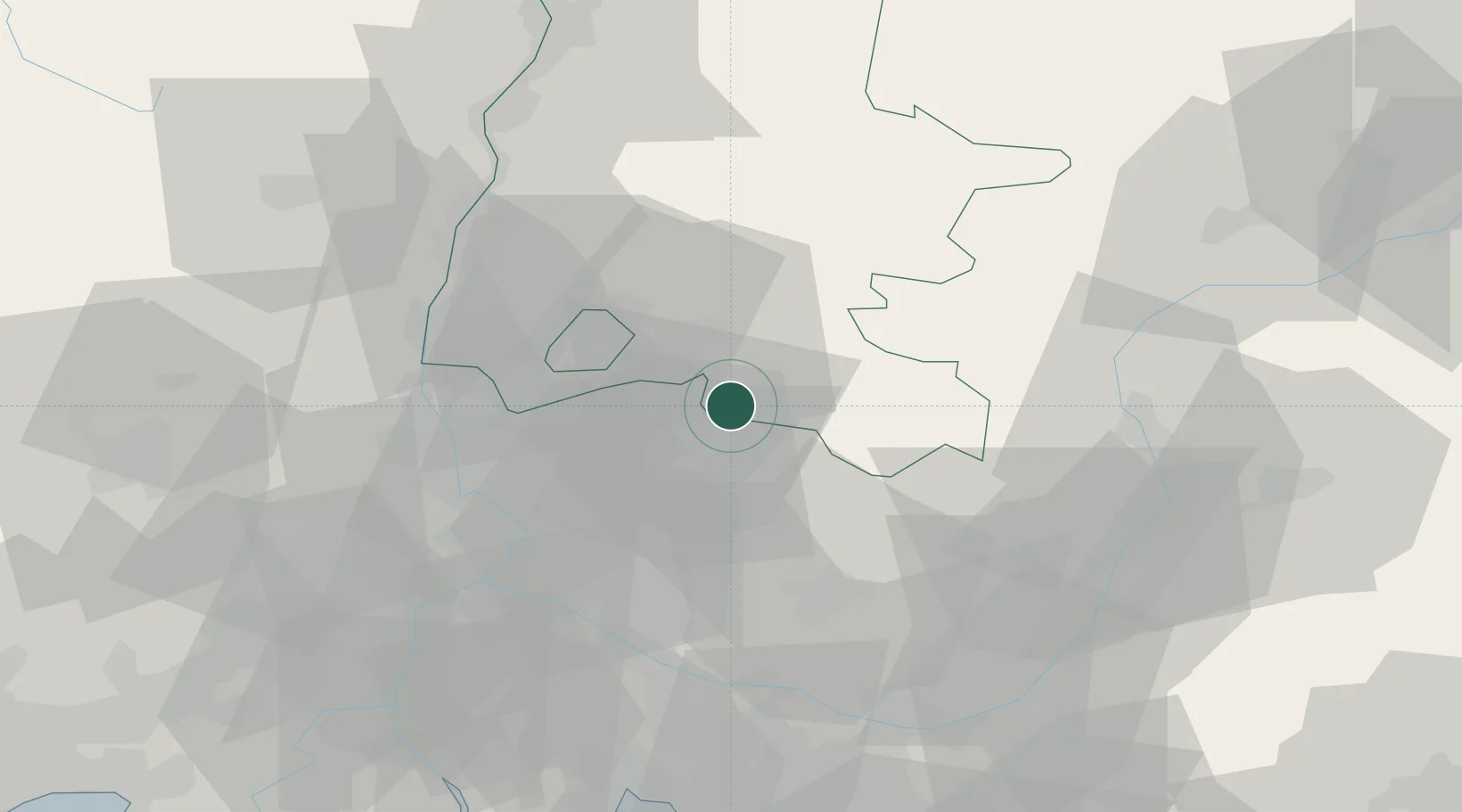
Location
Nearby Logistics Neighbours
Cities
- 1Pierrelongue0 km
- 2Faucon6 km
- 3Puyméras7 km
- 4Entrechaux8 km
- 5Saint-Romain-en-Viennois8 km
Ports
- 1Port-de-Bouc96 km
- 2Fos96 km
- 3Port Saint Louis Du Rhone102 km
- 4Marseille105 km
- 5Toulon140 km
Airports
Trade Zones
- 1ZFU Avignon47 km
- 2ZFU Valence80 km
- 3ZFU Nîmes84 km
- 4ZFU Marseille 15e et 16e103 km
- 5ZFU Saint-Barthélémy, Le Canet, Delorme-Paternelle108 km
DatabookThe Record of Consolidated Knowledge
France beyond logistics?