UN/LOCODE hub · France
FRDCO

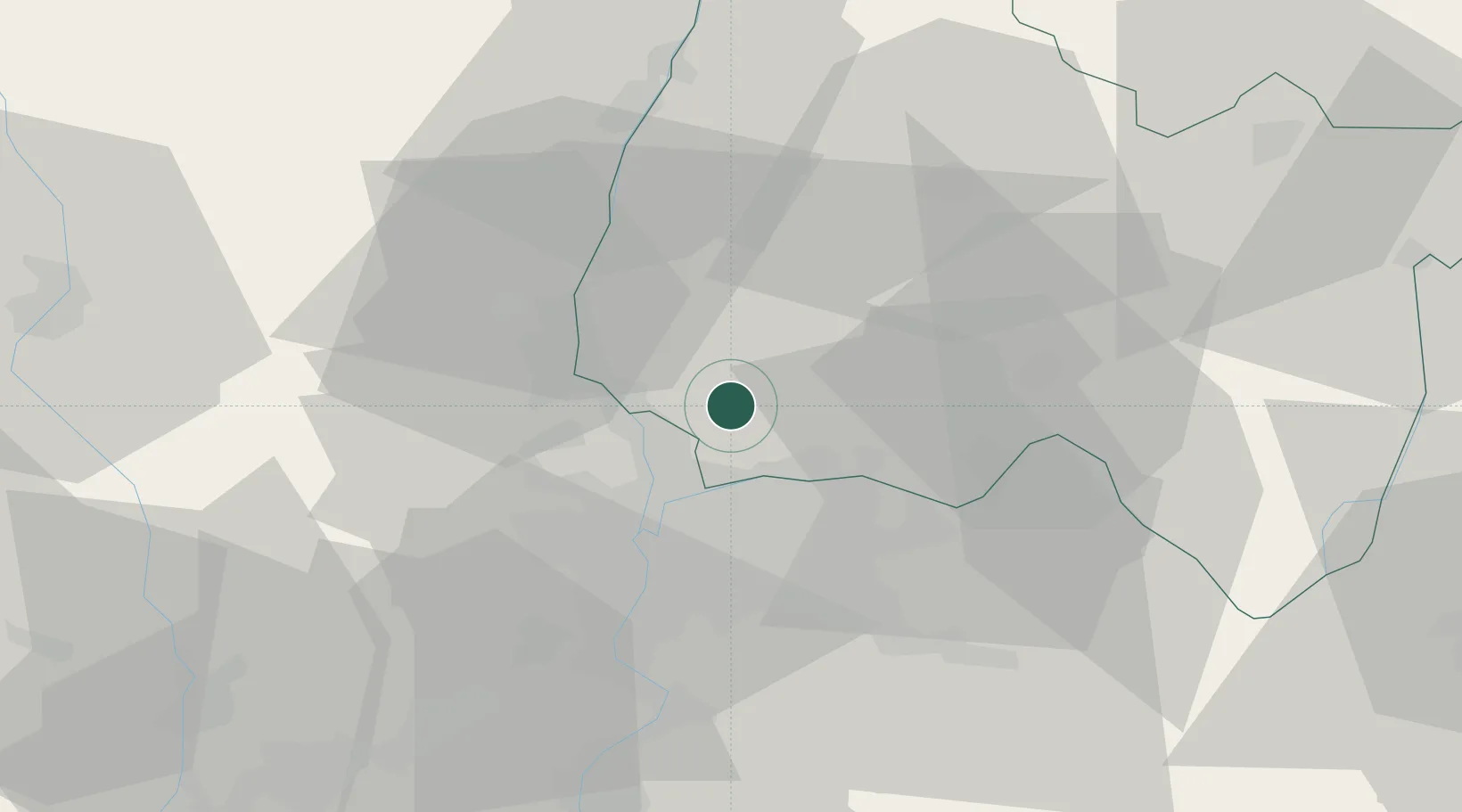
Saint-André-de-Corcy

45.9167°, 4.9500°
3,373
Population
2
Transport functions

Transport Functions

Rail
Road
UN/LOCODE

Hub Profile

Place type
Populated place
GeoNames
Region
Rhône-Alpes
GeoNames
Population
3,373
GeoNames
Time zone
Europe/Paris
GeoNames
Elevation
298 m
GeoNames

Location

Location of FRDCO
Natural Earth 10m (public domain) · Rhône-Alpes · FRDCO · 45.92, 4.95GoogleOSMYandex

Nearby Logistics Neighbours

Cities
  1. 1Mionnay2 km
  2. 2Parcieux9 km
  3. 3Saint-Maurice-de-Beynost9 km
  4. 4Neuville-sur-Saône10 km
  5. 5Genay10 km
Nearest neighbours — logibook spatial index (haversine) over the source coordinates
Ports
  1. 1Fos278 km
  2. 2Port-de-Bouc280 km
  3. 3Port Saint Louis Du Rhone282 km
  4. 4Marseille291 km
  5. 5Sete297 km
Nearest neighbours — logibook spatial index (haversine) over the source coordinates
Airports
  1. 1Lyon Bron Airport21 km
  2. 2Lyon Saint-Exupéry Airport24 km
  3. 3Ambérieu Air Base (BA 278)30 km
  4. 4Mâcon-Charnay Airfield44 km
  5. 5Saint-Étienne-Bouthéon Airport66 km
Nearest neighbours — logibook spatial index (haversine) over the source coordinates
Trade Zones
  1. 1ZFU Rillieux-la-Pape12 km
  2. 2ZFU Vaulx-en-Velin15 km
  3. 3ZFU Lyon 9e19 km
  4. 4ZFU Vénissieux26 km
  5. 5ZFU Saint-Etienne75 km
Nearest neighbours — logibook spatial index (haversine) over the source coordinates
DatabookThe Record of Consolidated Knowledge
France beyond logistics?
Browse databook

All Sources

LocationsUN/LOCODE
UN/LOCODE — free
LocationsGeoNames
CC BY 4.0
Portsthe NGA World Port Index
Public domain (US gov)
AirportsOurAirports
Public domain
Trade Zonesthe World Bank SEZ database
CC BY 4.0
Trade ZonesOpen Zone Map
CC BY
← France locations