Transport Functions
Road
Multimodal
Hub Profile
Place type
Populated place
Region
Bourgogne
Population
363
Time zone
Europe/Paris
Elevation
374 m
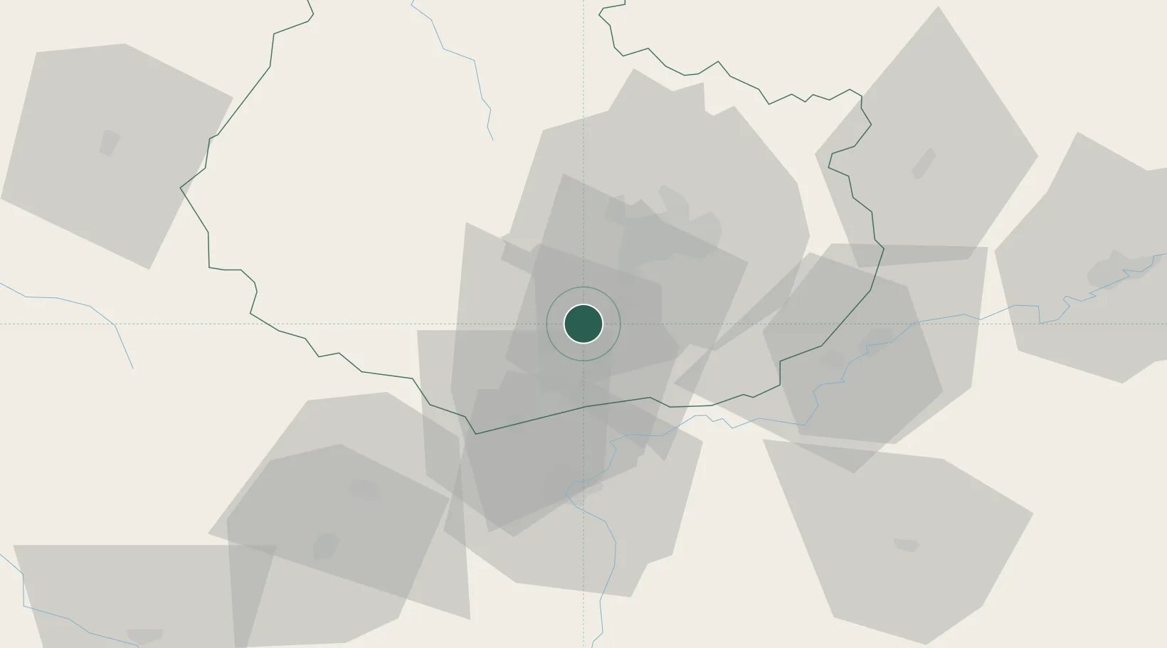
Location
Nearby Logistics Neighbours
Cities
- 1Villars-Fontaine2 km
- 2Marey-lès-Fussey3 km
- 3Curtil-Vergy4 km
- 4Concoeur-et-Corboin4 km
- 5Villers-la-Faye4 km
Ports
- 1Port Of Rouen383 km
- 2Fos413 km
- 3Port-de-Bouc415 km
- 4Saint-Valery-Sur-Somme416 km
- 5Le Treport417 km
Airports
- 1Dijon Longvic airport21 km
- 2Dole Tavaux Airport41 km
- 3Mâcon-Charnay Airfield94 km
- 4Saint-Yan Airport105 km
- 5Vesoul-Frotey Airfield113 km
Trade Zones
DatabookThe Record of Consolidated Knowledge
France beyond logistics?