Transport Functions
Rail
Hub Profile
Place type
Populated place
Region
Provence-Alpes-Côte d'Azur
Population
26,689
Time zone
Europe/Paris
Elevation
71 m
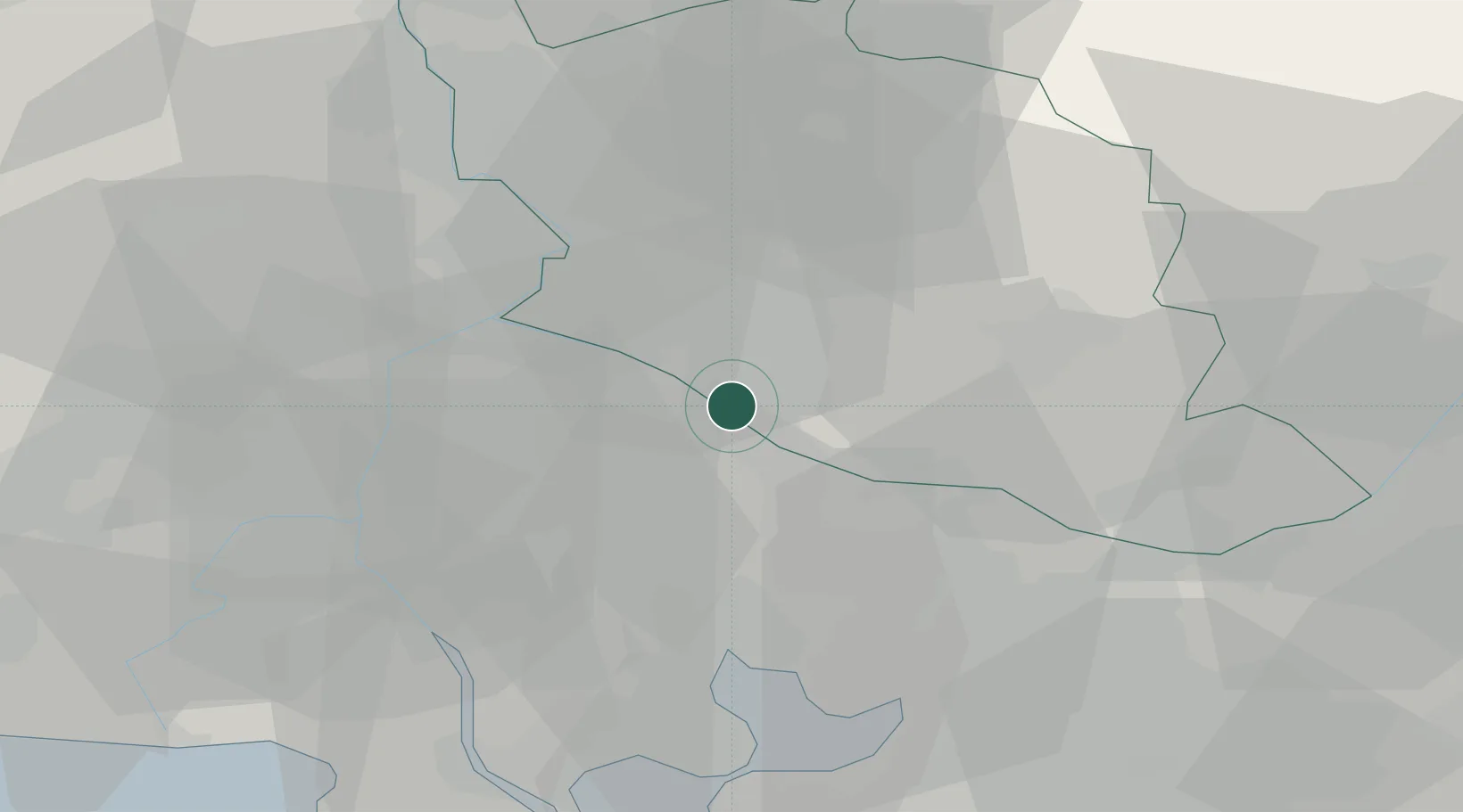
Location
Nearby Logistics Neighbours
Cities
- 1Saint-Andiol7 km
- 2Robion7 km
- 3L'Isle-sur-la-Sorgue9 km
- 4Mollégès10 km
- 5Maubec11 km
Ports
- 1Fos48 km
- 2Port-de-Bouc48 km
- 3Port Saint Louis Du Rhone53 km
- 4Marseille63 km
- 5Toulon108 km
Airports
Trade Zones
- 1ZFU Avignon23 km
- 2ZFU Nîmes55 km
- 3ZFU Marseille 15e et 16e62 km
- 4ZFU Saint-Barthélémy, Le Canet, Delorme-Paternelle64 km
- 5ZFU Montpellier99 km
DatabookThe Record of Consolidated Knowledge
France beyond logistics?