Transport Functions
Multimodal
Hub Profile
Region
J
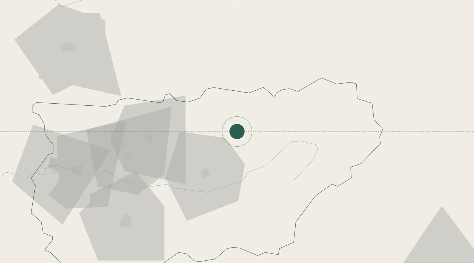
Location
Nearby Logistics Neighbours
Cities
- 1Castellar6 km
- 2La Aldeilla7 km
- 3Canena33 km
- 4Puente de Genave37 km
- 5Puente del Obispo44 km
Ports
- 1Motril169 km
- 2Adra169 km
- 3Puerto De Garrucha170 km
- 4Almeria170 km
- 5Aguilas172 km
Airports
Trade Zones
- 1Depósito Franco de Málaga178 km
- 2Depósito Franco de Alicante237 km
- 3Depósito Franco de Madrid-Aeropuerto247 km
- 4Zona Franca de Sevilla266 km
- 5Depósito Franco de Valencia283 km
DatabookThe Record of Consolidated Knowledge
Spain beyond logistics?