Transport Functions
Rail
Road
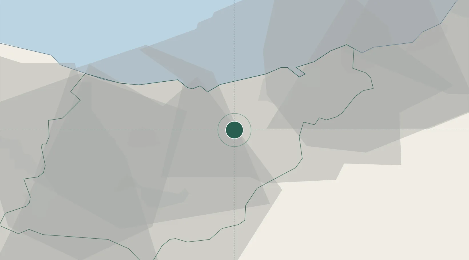
Location
Nearby Logistics Neighbours
Ports
- 1Puerto De Pasajes18 km
- 2Bermeo58 km
- 3Bayonne59 km
- 4Puerto De Bilbao81 km
- 5Santander142 km
Airports
- 1San Sebastián Airport28 km
- 2Biarritz Pays Basque airport53 km
- 3Pamplona Airport59 km
- 4Vitoria Airport64 km
- 5Bilbao Airport69 km
Trade Zones
DatabookThe Record of Consolidated Knowledge
Spain beyond logistics?