UN/LOCODE hub · Spain
ESSPQ

San Pedro Ceque

43.0500°, -6.0667°
1
Transport functions

Transport Functions

Port
UN/LOCODE

Hub Profile

Region
ZA
GeoNames

Location

Location of ESSPQ
Natural Earth 10m (public domain) · ZA · ESSPQ · 43.05, -6.07GoogleOSMYandex

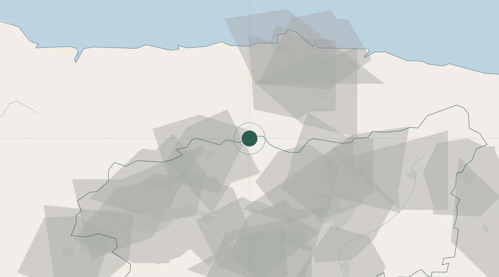
Nearby Logistics Neighbours

Cities
  1. 1Sotiello19 km
  2. 2Grandas de Salime27 km
  3. 3Caborana30 km
  4. 4Siero33 km
  5. 5Piedramuelle36 km
Nearest neighbours — logibook spatial index (haversine) over the source coordinates
Ports
  1. 1Aviles62 km
  2. 2Gijon64 km
  3. 3Ribadeo95 km
  4. 4San Ciprian132 km
  5. 5Ferrol182 km
Nearest neighbours — logibook spatial index (haversine) over the source coordinates
Airports
  1. 1Asturias Airport57 km
  2. 2León Int'l Airport61 km
  3. 3Bragança Airport143 km
  4. 4Valladolid Airport180 km
  5. 5A Coruña Airport189 km
Nearest neighbours — logibook spatial index (haversine) over the source coordinates
Trade Zones
  1. 1Depósito Franco de Gijón65 km
  2. 2Zona Franca de Santander188 km
  3. 3Depósito Franco de La Coruña192 km
  4. 4Depósito Franco de Villafría (Burgos)206 km
  5. 5Zona Franca de Vigo238 km
Nearest neighbours — logibook spatial index (haversine) over the source coordinates
DatabookThe Record of Consolidated Knowledge
Spain beyond logistics?
Browse databook

All Sources

LocationsUN/LOCODE
UN/LOCODE — free
Portsthe NGA World Port Index
Public domain (US gov)
AirportsOurAirports
Public domain
Trade Zonesthe World Bank SEZ database
CC BY 4.0
Trade ZonesOpen Zone Map
CC BY
← Spain locations