Transport Functions
Rail
Road
Multimodal
Hub Profile
Region
V
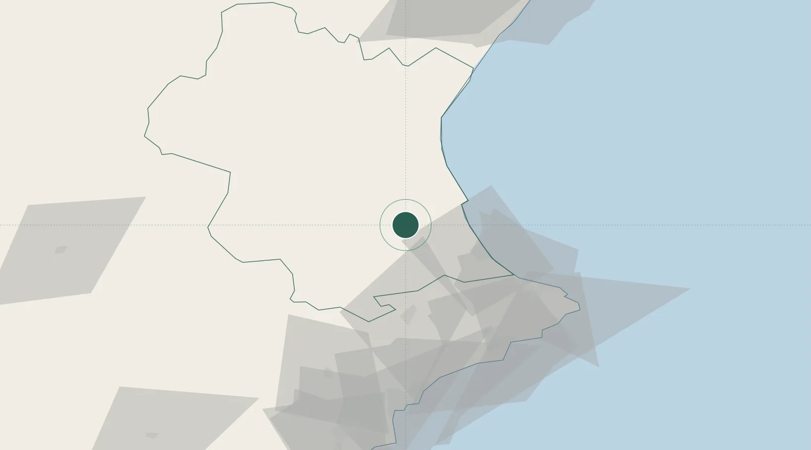
Location
Nearby Logistics Neighbours
Cities
- 1Manuel5 km
- 2Alberic6 km
- 3Benimuslem6 km
- 4Carcaixent6 km
- 5Masalaves7 km
Ports
- 1Puerto De Gandia29 km
- 2Valencia43 km
- 3Sagunto67 km
- 4Alicante83 km
- 5Burriana96 km
Airports
Trade Zones
DatabookThe Record of Consolidated Knowledge
Spain beyond logistics?