UN/LOCODE hub · Spain
ESMLJ
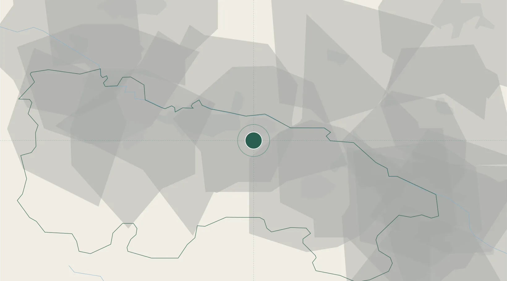
Murillo de Río Leza
42.4000°, -2.3167°
1,231
Population
2
Transport functions
Transport Functions
Port
Multimodal
Hub Profile
Place type
District seat
Region
La Rioja
Population
1,231
Time zone
Europe/Madrid
Elevation
418 m
Location
Nearby Logistics Neighbours
Cities
- 1Albelda de Iregua13 km
- 2Ausejo14 km
- 3Oion15 km
- 4Las Ruedas de Ocon15 km
- 5Nalda16 km
Ports
- 1Puerto De Pasajes108 km
- 2Bermeo118 km
- 3Puerto De Bilbao121 km
- 4Bayonne141 km
- 5Santander168 km
Airports
- 1Logroño-Agoncillo Airport7 km
- 2Vitoria Airport63 km
- 3Pamplona Airport69 km
- 4Burgos Airport107 km
- 5Bilbao Airport111 km
Trade Zones
DatabookThe Record of Consolidated Knowledge
Spain beyond logistics?