Transport Functions
Port
Road
Hub Profile
Place type
District seat
Region
Basque Country
Time zone
Europe/Madrid
Elevation
131 m
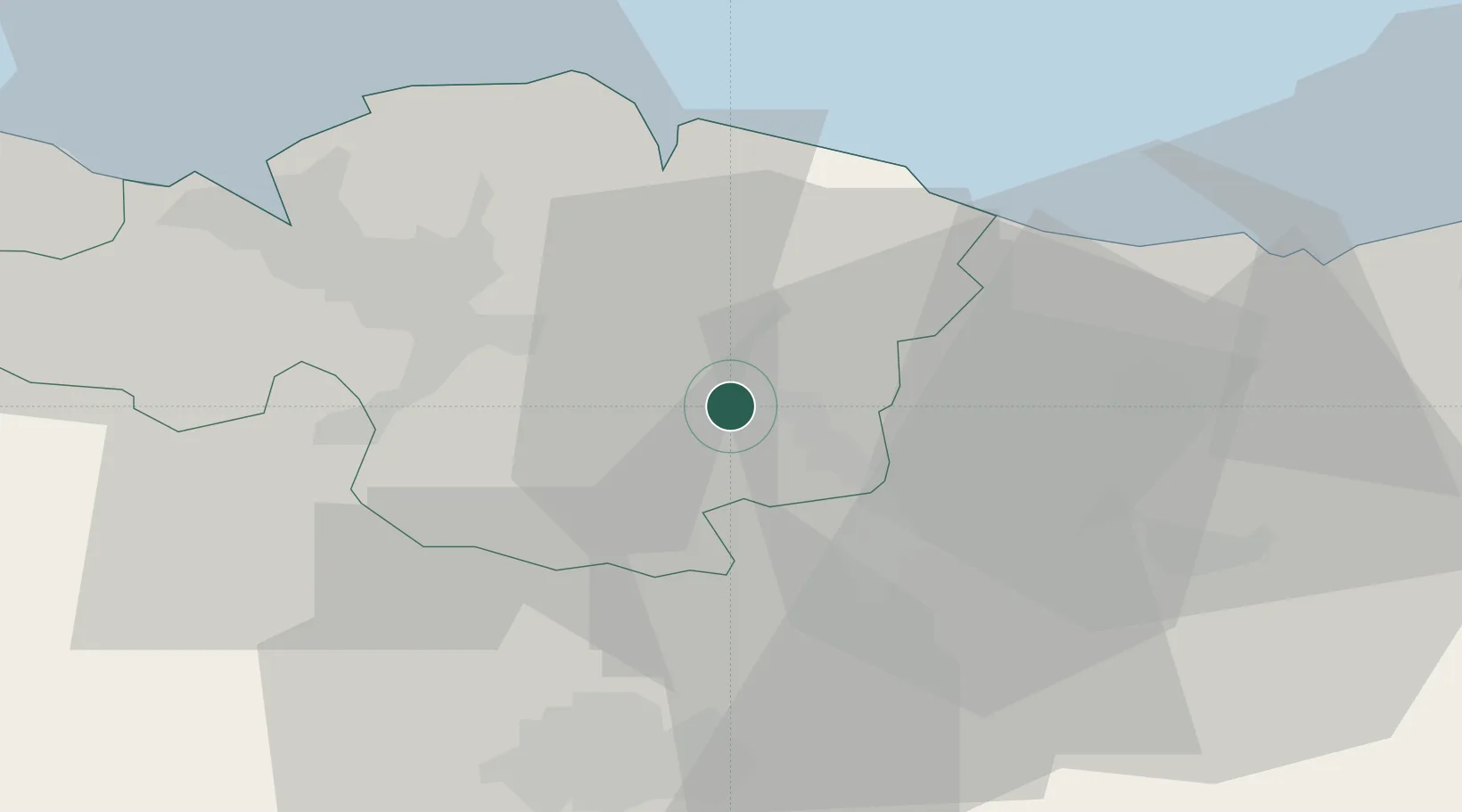
Location
Nearby Logistics Neighbours
Cities
- 1Durango1 km
- 2Izurza2 km
- 3Matiena3 km
- 4Abadiano-Zelaieta3 km
- 5Abadiano Celayeta3 km
Ports
- 1Bermeo29 km
- 2Puerto De Bilbao39 km
- 3Puerto De Pasajes60 km
- 4Santander99 km
- 5Bayonne101 km
Airports
- 1Bilbao Airport27 km
- 2Vitoria Airport32 km
- 3San Sebastián Airport71 km
- 4Logroño-Agoncillo Airport83 km
- 5Pamplona Airport92 km
Trade Zones
DatabookThe Record of Consolidated Knowledge
Spain beyond logistics?