Transport Functions
Rail
Road
Multimodal
Hub Profile
Place type
Populated place
Region
Valencia
Time zone
Europe/Madrid
Elevation
540 m
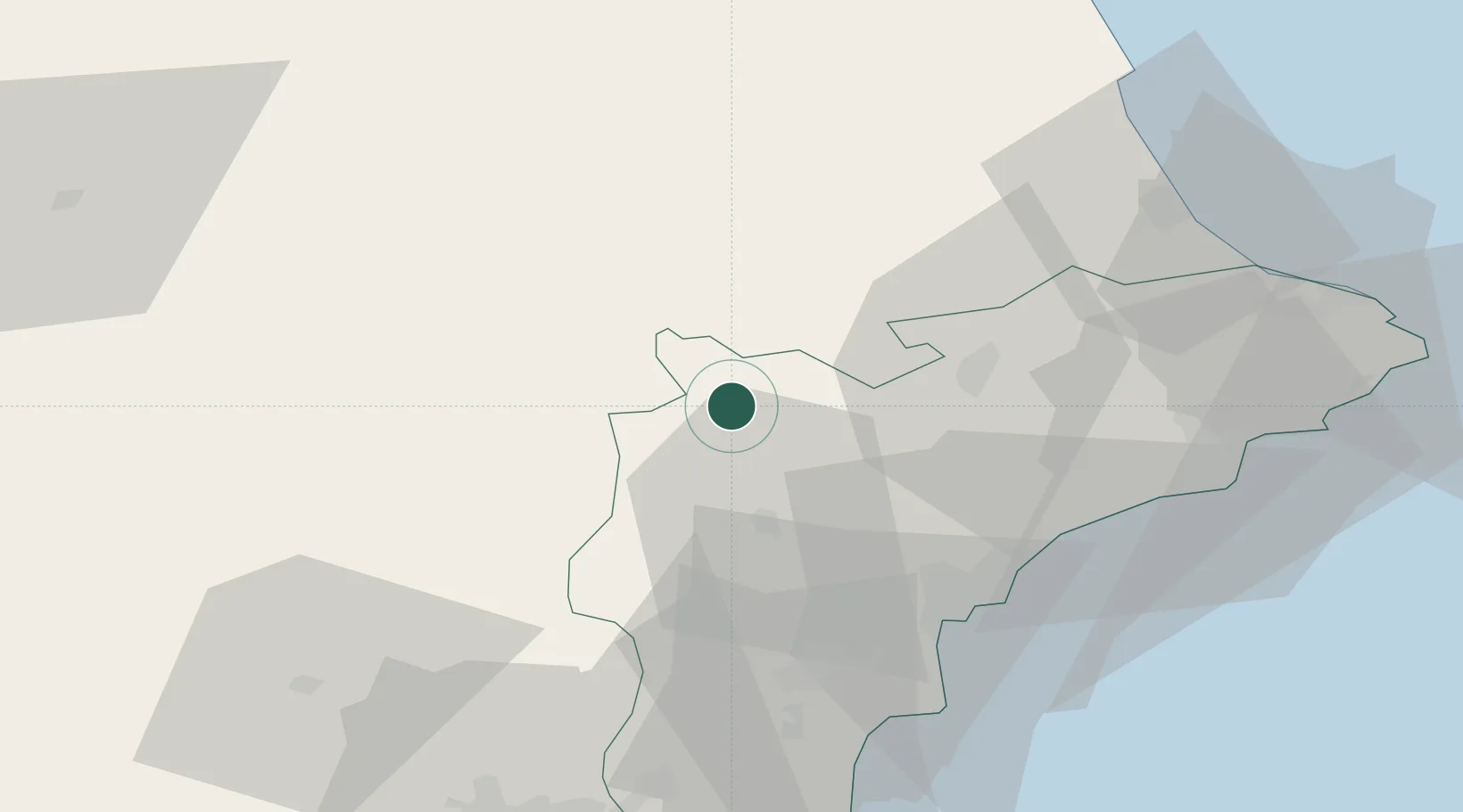
Location
Nearby Logistics Neighbours
Cities
- 1Campo de Mirra6 km
- 2Benejama7 km
- 3Rojales21 km
- 4Onteniente (Ontinyent)25 km
- 5Enguera38 km
Ports
- 1Alicante48 km
- 2Puerto De Gandia70 km
- 3Torrevieja79 km
- 4Valencia98 km
- 5Cartagena121 km
Airports
Trade Zones
DatabookThe Record of Consolidated Knowledge
Spain beyond logistics?