UN/LOCODE hub · Spain
ESATA

Artica

42.8333°, -1.6500°
2
Transport functions

Transport Functions

Rail
Road
UN/LOCODE

Hub Profile

Region
NA
GeoNames

Location

Location of ESATA
Natural Earth 10m (public domain) · NA · ESATA · 42.83, -1.65GoogleOSMYandex

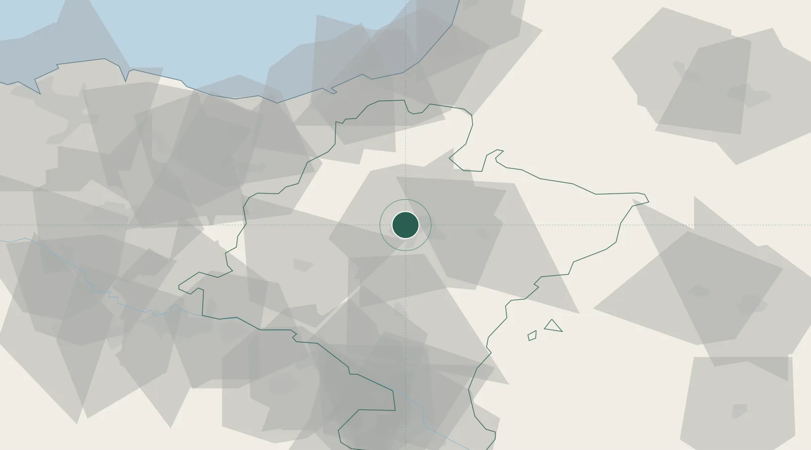
Nearby Logistics Neighbours

Cities
  1. 1Arre4 km
  2. 2Huarte5 km
  3. 3Esquiroz7 km
  4. 4Barbatain7 km
  5. 5Pamplona8 km
Nearest neighbours — logibook spatial index (haversine) over the source coordinates
Ports
  1. 1Puerto De Pasajes60 km
  2. 2Bayonne76 km
  3. 3Bermeo108 km
  4. 4Puerto De Bilbao127 km
  5. 5Santander187 km
Nearest neighbours — logibook spatial index (haversine) over the source coordinates
Airports
  1. 1Pamplona Airport7 km
  2. 2San Sebastián Airport59 km
  3. 3Logroño-Agoncillo Airport69 km
  4. 4Biarritz Pays Basque airport71 km
  5. 5Vitoria Airport88 km
Nearest neighbours — logibook spatial index (haversine) over the source coordinates
Trade Zones
  1. 1Depósito Franco de Pasajes (Guipúzcoa)59 km
  2. 2Depósito Franco de Bilbao126 km
  3. 3Depósito Franco de Zaragoza151 km
  4. 4Depósito Franco de Villafría (Burgos)178 km
  5. 5Zona Franca de Santander189 km
Nearest neighbours — logibook spatial index (haversine) over the source coordinates
DatabookThe Record of Consolidated Knowledge
Spain beyond logistics?
Browse databook

All Sources

LocationsUN/LOCODE
UN/LOCODE — free
Portsthe NGA World Port Index
Public domain (US gov)
AirportsOurAirports
Public domain
Trade Zonesthe World Bank SEZ database
CC BY 4.0
Trade ZonesOpen Zone Map
CC BY
← Spain locations