Transport Functions
Port
Multimodal
Hub Profile
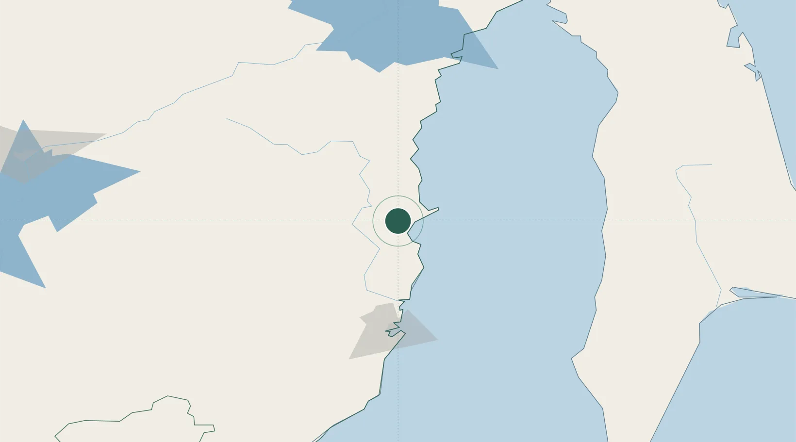
Place type
Populated place
Region
Central Bohemia
Population
714
Time zone
Europe/Prague
Elevation
335 m
Location
Nearby Logistics Neighbours
Cities
- 1Dehtary28 km
- 2Siziman82 km
- 3Boshnyakovo137 km
- 4Lesogorsk142 km
- 5Novy Knin145 km
Ports
- 1Bukhta Vanino100 km
- 2Sovetskaya Gavan112 km
- 3Lesogorsk142 km
- 4Mys Rogatyy Oktyabrskiy151 km
- 5Shakhtersk155 km
Airports
- 1Kamenny Ruchey Naval Air Base84 km
- 2Sovetskaya Gavan (Maygatka) Airport120 km
- 3Shakhtyorsk Airport154 km
- 4Dzemgi Airport241 km
- 5Komsomolsk-on-Amur Airport247 km
DatabookThe Record of Consolidated Knowledge
Czechia beyond logistics?