About
Methodology
Sources
Licensing
English
EN
English
TR
Türkçe
DE
Deutsch
FR
Français
ES
Español
IT
Italiano
PT
Português
NL
Nederlands
PL
Polski
RU
Русский
UK
Українська
CS
Čeština
RO
Română
EL
Ελληνικά
BG
Български
AR
العربية
FA
فارسی
UR
اردو
HI
हिन्दी
BN
বাংলা
ID
Bahasa Indonesia
VI
Tiếng Việt
ZH
中文
JA
日本語
KO
한국어
logibook
/
Countries
/
China
/
Locations
/
Nanao Pt
UN/LOCODE hub ·
China
CN
NAN
Nanao Pt
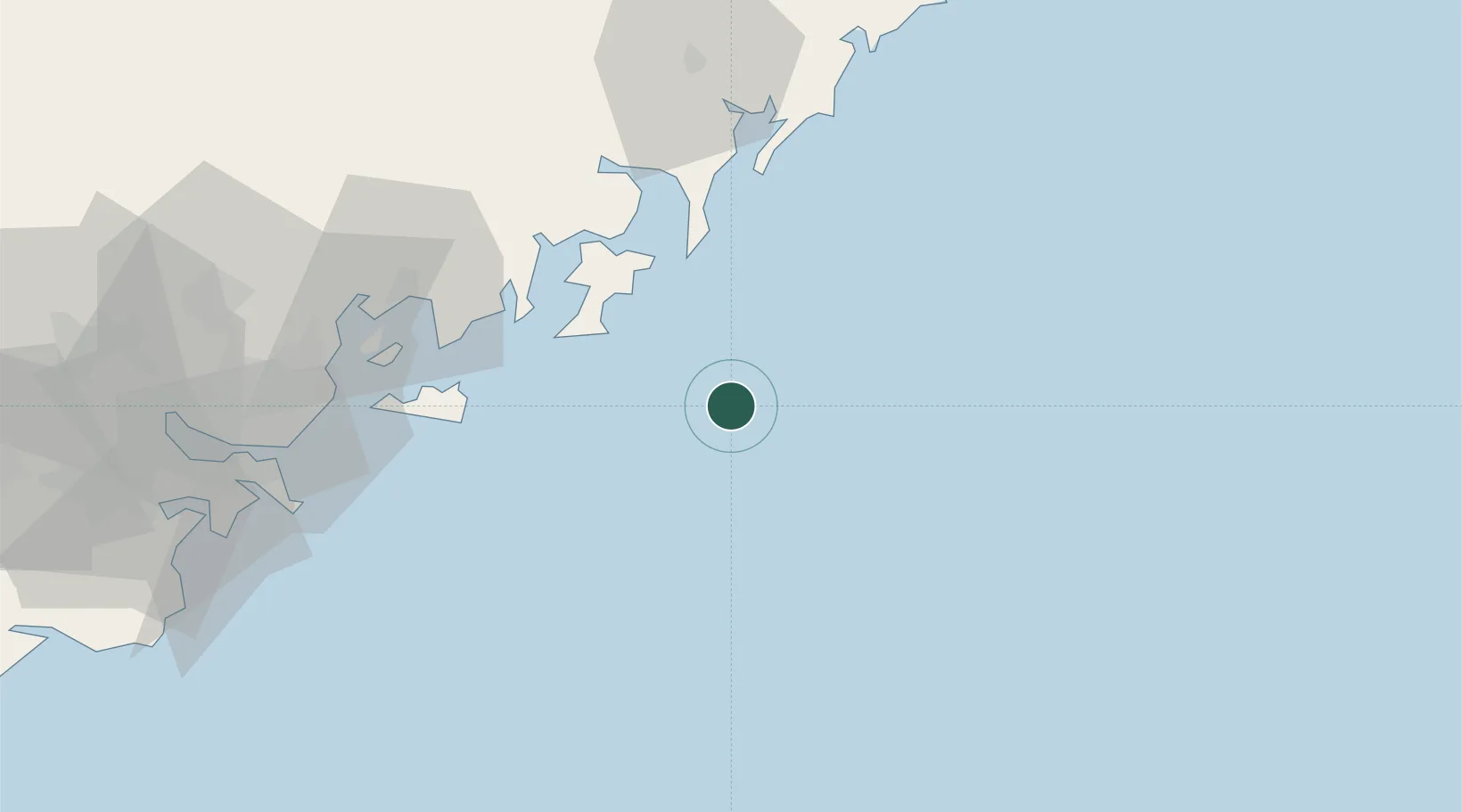
23.4333°, 117.6833°
1
Transport functions
Transport Functions
Port
UN/LOCODE
Hub Profile
Region
GD
GeoNames
Location
Natural Earth 10m (public domain) · GD · CNNAN · 23.43, 117.68
Google ↗
OSM ↗
Yandex ↗
Nearby Logistics Neighbours
Cities
1
Gulei
33 km
2
Gongkou
51 km
3
Zhelin
62 km
4
Jiuzhen
67 km
5
Raoping
74 km
Nearest neighbours — logibook spatial index (haversine) over the source coordinates
Ports
1
Dongshan
40 km
2
Chaozhou
65 km
3
Xiamen
120 km
4
Zhangzhou
147 km
5
Quanzhou
186 km
Nearest neighbours — logibook spatial index (haversine) over the source coordinates
Airports
1
Jieyang Chaoshan International Airport
121 km
2
Kinmen Airport
130 km
3
Xiamen Gaoqi International Airport
132 km
4
Quanzhou Jinjiang International Airport
177 km
5
Meizhou Meixian Changgangji International Airport
186 km
Nearest neighbours — logibook spatial index (haversine) over the source coordinates
Trade Zones
1
Huaqiao Economic Development Zone
56 km
2
Changshan Economic Development Zone
56 km
3
Gulei Port Economic Development Zone
59 km
4
Chaoan Economic Development Zone
102 km
5
Longhai Economic Development Zone
106 km
Nearest neighbours — logibook spatial index (haversine) over the source coordinates
Data
book
The Record of Consolidated Knowledge
China beyond logistics?
Browse databook
→
All Sources
Locations
UN/LOCODE
UN/LOCODE — free
↗
Ports
the NGA World Port Index
Public domain (US gov)
↗
Airports
OurAirports
Public domain
↗
Trade Zones
the World Bank SEZ database
CC BY 4.0
↗
Trade Zones
Open Zone Map
CC BY
↗
← China locations