Transport Functions
Port
Road
Multimodal
Hub Profile
Place type
Urban district
Region
Geneva
Population
27,291
Time zone
Europe/Zurich
Elevation
421 m
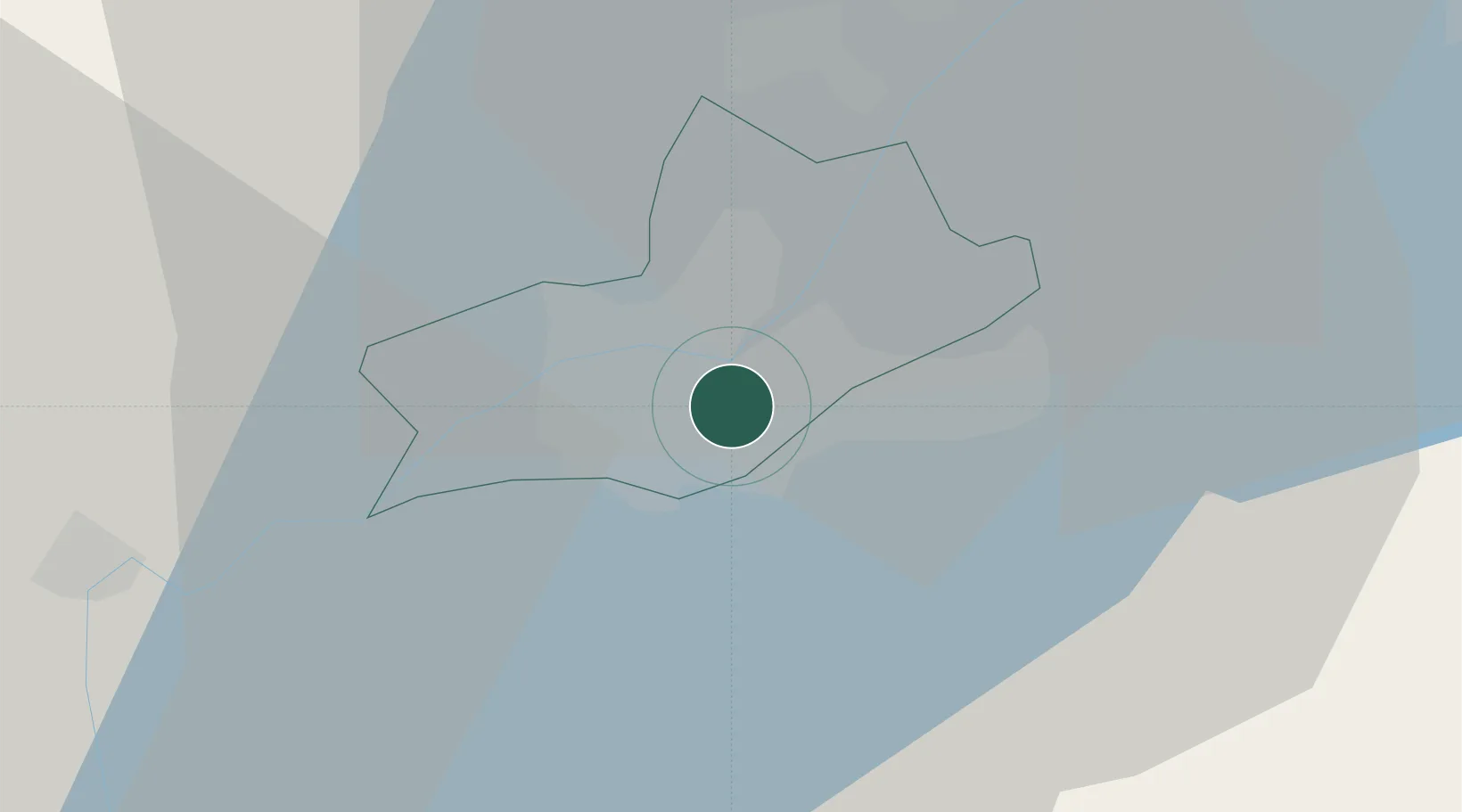
Location
Nearby Logistics Neighbours
Cities
- 1Carouge0 km
- 2Les Acacias0 km
- 3Petit-Lancy2 km
- 4Châtelaine2 km
- 5Onex3 km
Ports
- 1Savona278 km
- 2Rada Di Vado280 km
- 3Monaco291 km
- 4Nice291 km
- 5Villefranche291 km
Airports
DatabookThe Record of Consolidated Knowledge
Switzerland beyond logistics?