Small airport · China
Garze Gesar AirportZUGZ
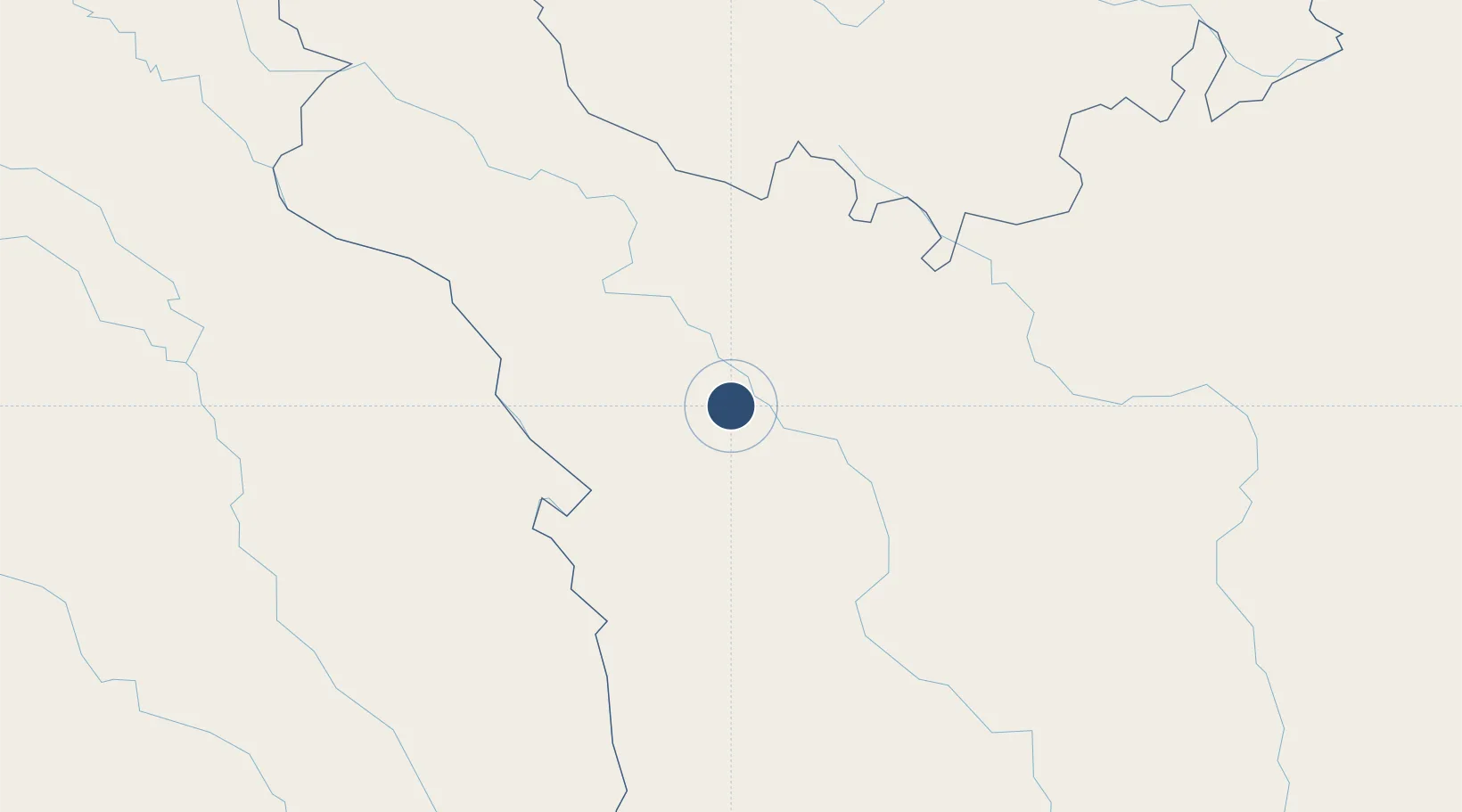
31.7575°, 99.5542°
13,123 ft
Longest runway
1
Runways
13,346 ft
Elevation
Runway & Layout

Runways · 1
| Runway | Dimensions | Surface | True heading | Lit |
|---|---|---|---|---|
| 12/30 | 13,123 × —ft | — | — | — |
Airport Specifications
IATA code
GZG
ICAO code
ZUGZ
Airport class
Small airport
Scheduled service
Yes
Served city
Garzê (Garzê)
Location
Nearby Logistics Neighbours
Airports
- 1Yushu Batang Airport265 km
- 2Qamdo Bangda Airport269 km
- 3Kangding Airport275 km
- 4Daocheng Yading Airport276 km
- 5Hongyuan Airport277 km
Cities
- 1Chengdu420 km
- 2Deyang465 km
- 3Leshan466 km
- 4Mianyang488 km
- 5Tianfu, Chengdu494 km
Ports
- 1Chittagong1299 km
- 2Hai Phong1398 km
- 3Fang-Cheng1413 km
- 4Hon Gai1415 km
- 5Cam Pha1423 km
Trade Zones
- 1Aba Industrial Park384 km
- 2Hanyuan Industrial Park390 km
- 3Shimian Industrial Park402 km
- 4Qionglai Economic Development Zone402 km
- 5Danling Economic Development Zone427 km
DatabookThe Record of Consolidated Knowledge
China beyond logistics?