Medium airport · Russia

Podkamennaya Tunguska AirportUNIP
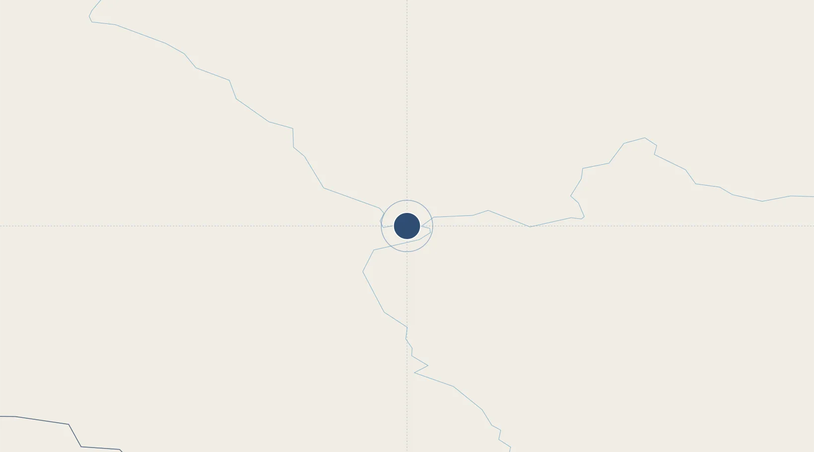
61.5897°, 89.9940°
5,597 ft
Longest runway
1
Runways
213 ft
Elevation

Runway & Layout

Podkamennaya Tunguska Airport runway & taxiway layout
Runway & taxiway layout — OpenStreetMap (ODbL) / OurAirports

Runways · 1

RunwayDimensions SurfaceTrue headingLit
04/22 5,597 × 92ft
OurAirports

Airport Specifications

IATA code
TGP
OurAirports
ICAO code
UNIP
OurAirports
Airport class
Medium airport
OurAirports
Scheduled service
No
OurAirports
Served city
Bor
OurAirports

Location

Location of UNIP
Natural Earth 10m (public domain) · Krasnoyarsk · UNIP · 61.59, 89.99GoogleOSMYandex

Nearby Logistics Neighbours

Airports
  1. 1Severo-Yeniseysk Airport212 km
  2. 2Yeniseysk Airport366 km
  3. 3Motygino Airport462 km
  4. 4Turukhansk Airport479 km
  5. 5Tolka Airport483 km
Nearest neighbours — logibook spatial index (haversine) over the source coordinates
Cities
  1. 1Streika425 km
  2. 2Kulakovo441 km
  3. 3Rubnoye461 km
  4. 4Kolpashevo537 km
  5. 5Lugovoye553 km
Nearest neighbours — logibook spatial index (haversine) over the source coordinates
Ports
  1. 1Igarka672 km
  2. 2Dudinka886 km
  3. 3Port Dikson1381 km
  4. 4Qinhuangdao3130 km
  5. 5Tianjin Xin Gang3150 km
Nearest neighbours — logibook spatial index (haversine) over the source coordinates
Trade Zones
  1. 1Tomsk Technology Innovative Special Economic Zone635 km
  2. 2Altai Valley Special Economic Zone1120 km
  3. 3Turquoise Katun Tourism Zone1159 km
  4. 4Pavlodar Special Economic Zone1288 km
  5. 5Tsagaannuur Special Economic Zone1348 km
Nearest neighbours — logibook spatial index (haversine) over the source coordinates
DatabookThe Record of Consolidated Knowledge
Russia beyond logistics?
Browse databook

All Sources

AirportsOurAirports
Public domain
Portsthe NGA World Port Index
Public domain (US gov)
LocationsUN/LOCODE
UN/LOCODE — free
Trade Zonesthe World Bank SEZ database
CC BY 4.0
Trade ZonesOpen Zone Map
CC BY
InfrastructureOpenStreetMap
ODbL 1.0
← Russia airports