Transport Functions
Port
Hub Profile
Place type
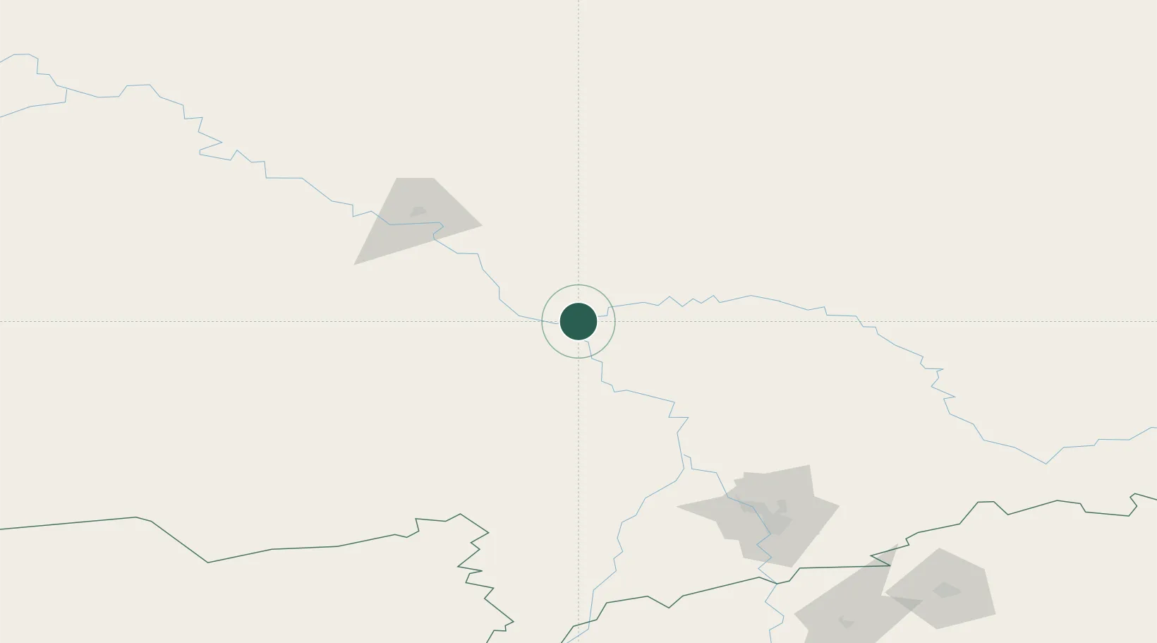
Populated place
Region
Tomsk Oblast
Time zone
Asia/Tomsk
Elevation
54 m
Location
Nearby Logistics Neighbours
Cities
- 1Molchanovo13 km
- 2Mogochin13 km
- 3Krivosheino44 km
- 4Kolpashevo83 km
- 5Kozhevnikovo162 km
Ports
- 1Igarka1092 km
- 2Dudinka1304 km
- 3Port Dikson1762 km
- 4Hankow3811 km
- 5Muhamamad Bin Qasim3890 km
Airports
- 1Tomsk Kamov Airport171 km
- 2Yeltsovka Airport296 km
- 3Alexei Leonov Kemerovo International Airport307 km
- 4Novosibirsk Tolmachevo Airport309 km
- 5Spichenkovo Airport475 km
Trade Zones
DatabookThe Record of Consolidated Knowledge
Russia beyond logistics?