UN/LOCODE hub · Portugal
PTPDL
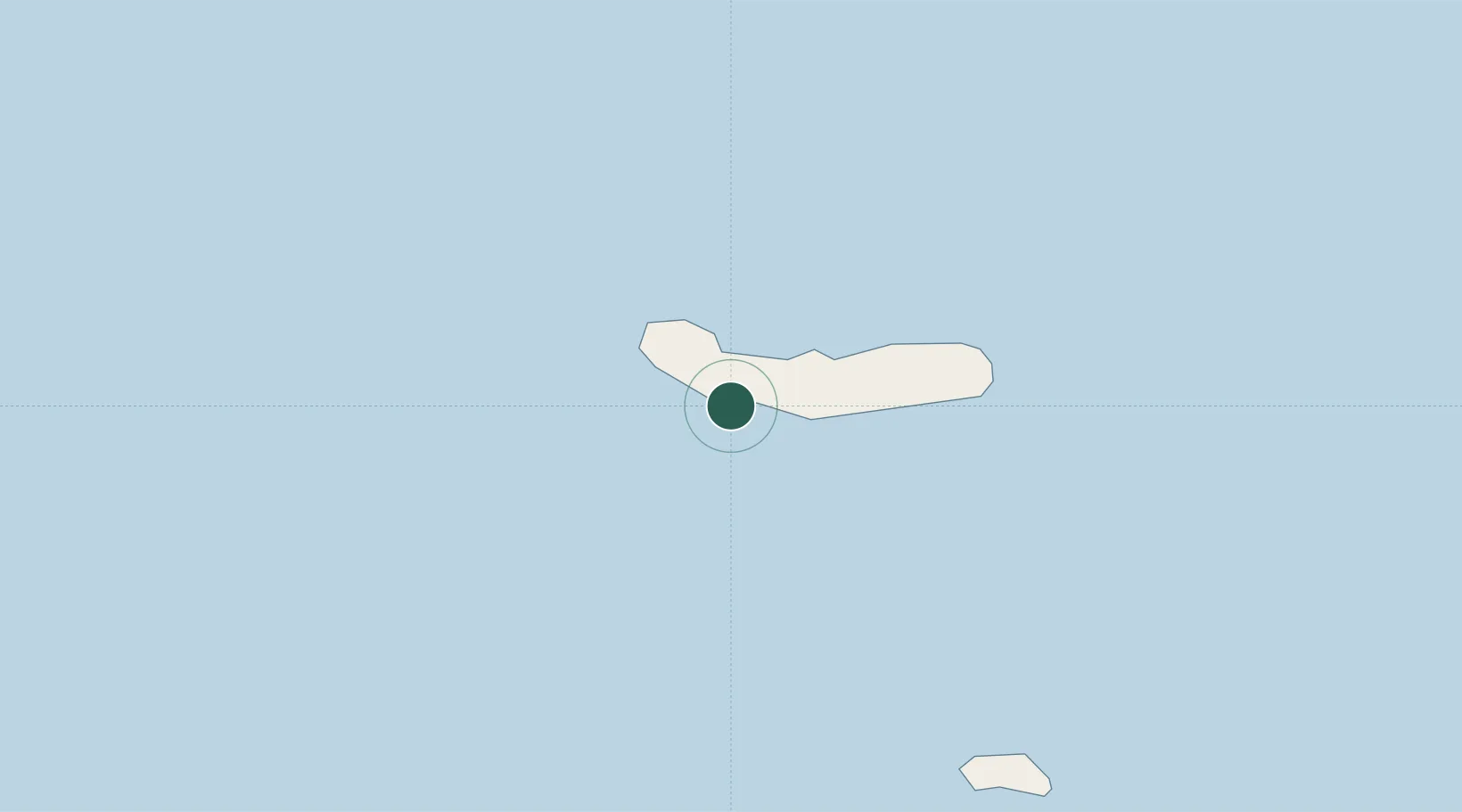
Ponta Delgada
37.7350°, -25.6701°
20,056
Population
4
Transport functions
1
Container terminals
Transport Functions
Port
Road
Airport
Postal
Hub Profile
Place type
Regional capital
Region
Azores
Population
20,056
Time zone
Atlantic/Azores
Elevation
12 m
Logistics facilities
2
Container terminals
1
Location
Nearby Logistics Neighbours
Cities
- 1Rabo de Peixe11 km
- 2Varzea21 km
- 3Vila Franca do Campo21 km
- 4Povoação37 km
- 5Nordeste46 km
Ports
- 1Vila Do Porto100 km
- 2Praia De Vitoria163 km
- 3Angra Do Heroismo169 km
- 4Lajes239 km
- 5Horta274 km
Airports
- 1João Paulo II Airport3 km
- 2Santa Maria Airport96 km
- 3Lajes Airport169 km
- 4São Jorge Airport242 km
- 5Graciosa Airport255 km
Trade Zones
DatabookThe Record of Consolidated Knowledge
Portugal beyond logistics?