Transport Functions
Port
Road
Hub Profile
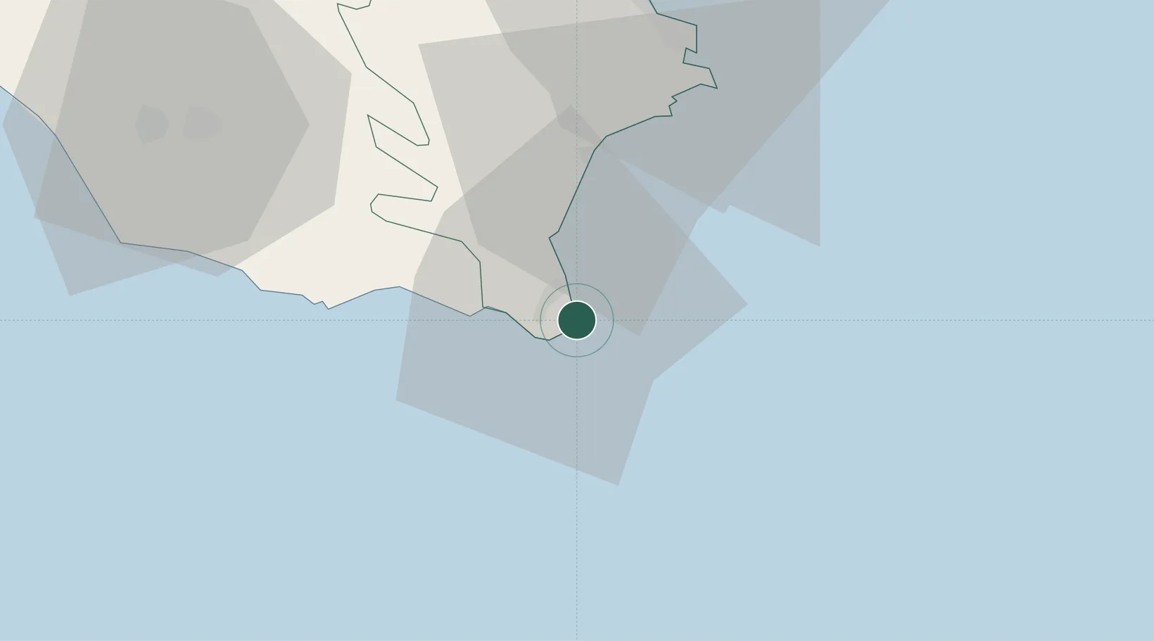
Place type
Populated place
Region
Sicily
Population
116
Time zone
Europe/Rome
Elevation
20 m
Location
Nearby Logistics Neighbours
Ports
- 1Pozzallo26 km
- 2Siracusa43 km
- 3Santa Panagia45 km
- 4Augusta60 km
- 5Gela89 km
Airports
- 1Comiso Airport58 km
- 2Sigonella Navy Air Base82 km
- 3Catania-Fontanarossa Airport87 km
- 4Xewkija Heliport106 km
- 5Malta International Airport110 km
Trade Zones
DatabookThe Record of Consolidated Knowledge
Italy beyond logistics?