UN/LOCODE hub · Italy
ITPZL
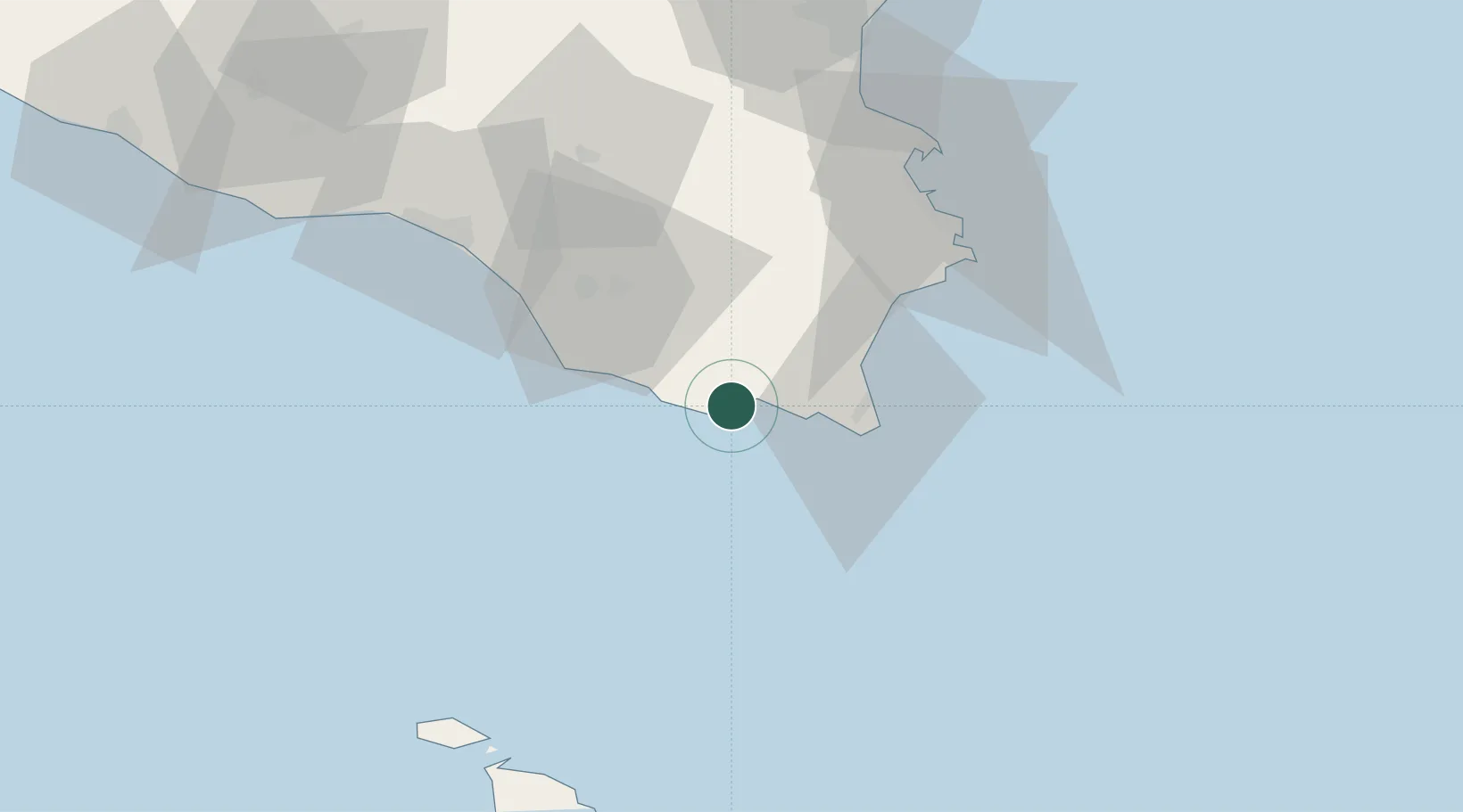
Pozzallo
36.7161°, 14.8289°
18,166
Population
2
Transport functions
1
Container terminals
Transport Functions
Port
Road
Hub Profile
Place type
District seat
Region
Sicily
Population
18,166
Time zone
Europe/Rome
Elevation
20 m
Logistics facilities
1
Container terminals
1
Location
Nearby Logistics Neighbours
Cities
- 1Rosolini16 km
- 2Modica18 km
- 3Marina di Ragusa26 km
- 4Portopalo27 km
- 5Noto28 km
Ports
- 1Siracusa55 km
- 2Santa Panagia57 km
- 3Gela65 km
- 4Augusta66 km
- 5Licata90 km
Airports
- 1Comiso Airport37 km
- 2Sigonella Navy Air Base77 km
- 3Catania-Fontanarossa Airport86 km
- 4Xewkija Heliport91 km
- 5Malta International Airport101 km
Trade Zones
DatabookThe Record of Consolidated Knowledge
Italy beyond logistics?