Seaport · Spain
Palma De MallorcaESPMI
39.5667°, 2.6333°
9.4 m
Channel depth
7.9
Port liner connectivity
Channel & Berth Profile
Pilotage, Tugs & Services
Pilotage compulsoryYES
Pilotage availableYES
Pilotage advisableYES
Local assistanceYES
Tug assistanceYES
Potable waterYES
Diesel bunkersYES
MedicalYES
Garbage disposalYES
Facilities & Capabilities
Container—
Ro-Ro—
Liquid bulk—
Dry bulk—
Oil terminal—
Break bulk—
Dry dockNO
RepairsNO
BunkeringYES
Rail linkYES
Dangerous cargo—
ISPS security—
Harbour Specifications
Harbour size
Medium
Harbour type
Coastal (Breakwater)
Shelter
Fair
Water body
Mediterranean Sea; North Atlantic Ocean
Tidal range
1 m
Pilotage
Yes
Liner Connectivity
7.9
PLSCI
Port Liner Shipping Connectivity Index for Palma De Mallorca, as published by UNCTAD for the latest available quarter. Higher values indicate stronger scheduled liner-shipping integration.
Shown relative to the highest per-port PLSCI in the dataset (1,657.9).
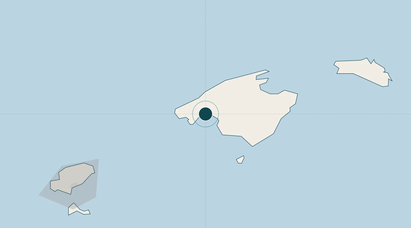
Location
Nearby Logistics Neighbours
Ports
- 1Puerto De Alcudia52 km
- 2Ibiza126 km
- 3Mahon144 km
- 4Villanueva Y Geltru200 km
- 5Barcelona202 km
Cities
- 1Sant Jordi12 km
- 2Estellencs16 km
- 3Andraitx19 km
- 4Alaro20 km
- 5Binissalem22 km
Airports
- 1Palma de Mallorca Airport9 km
- 2Ibiza Airport133 km
- 3Menorca Airport140 km
- 4Josep Tarradellas Barcelona-El Prat Airport198 km
- 5Reus Airport215 km
Trade Zones
- 1Zona Franca de Barcelona202 km
- 2Depósito Franco de Tarragona209 km
- 3Depósito Franco de Valencia253 km
- 4Depósito Franco de Alicante303 km
- 5ZFU Perpignan349 km
DatabookThe Record of Consolidated Knowledge
Spain beyond logistics?