Transport Functions
Port
Road
Multimodal
Hub Profile
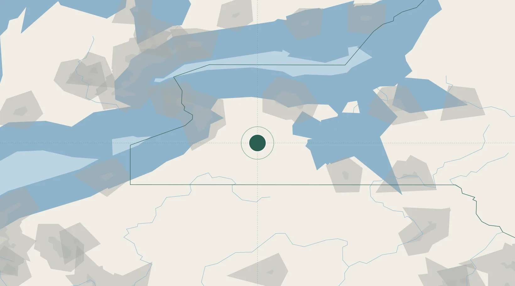
Place type
Populated place
Region
New York
Time zone
America/New_York
Elevation
340 m
Location
Nearby Logistics Neighbours
Cities
- 1Castile6 km
- 2Perry15 km
- 3Warsaw20 km
- 4Mount Morris22 km
- 5Piffard32 km
Ports
- 1Buffalo78 km
- 2Rochester86 km
- 3Tonawanda87 km
- 4Port Colborne105 km
- 5Dunkirk107 km
Airports
Trade Zones
- 1FTZ No. 289 Ontario County47 km
- 2FTZ No. 023 Buffalo77 km
- 3FTZ No. 141 Monroe County80 km
- 4Niagara Foreign Trade Zone101 km
- 5FTZ No. 034 Niagara County122 km
DatabookThe Record of Consolidated Knowledge
United States beyond logistics?