Transport Functions
Rail
Road
Hub Profile
Place type
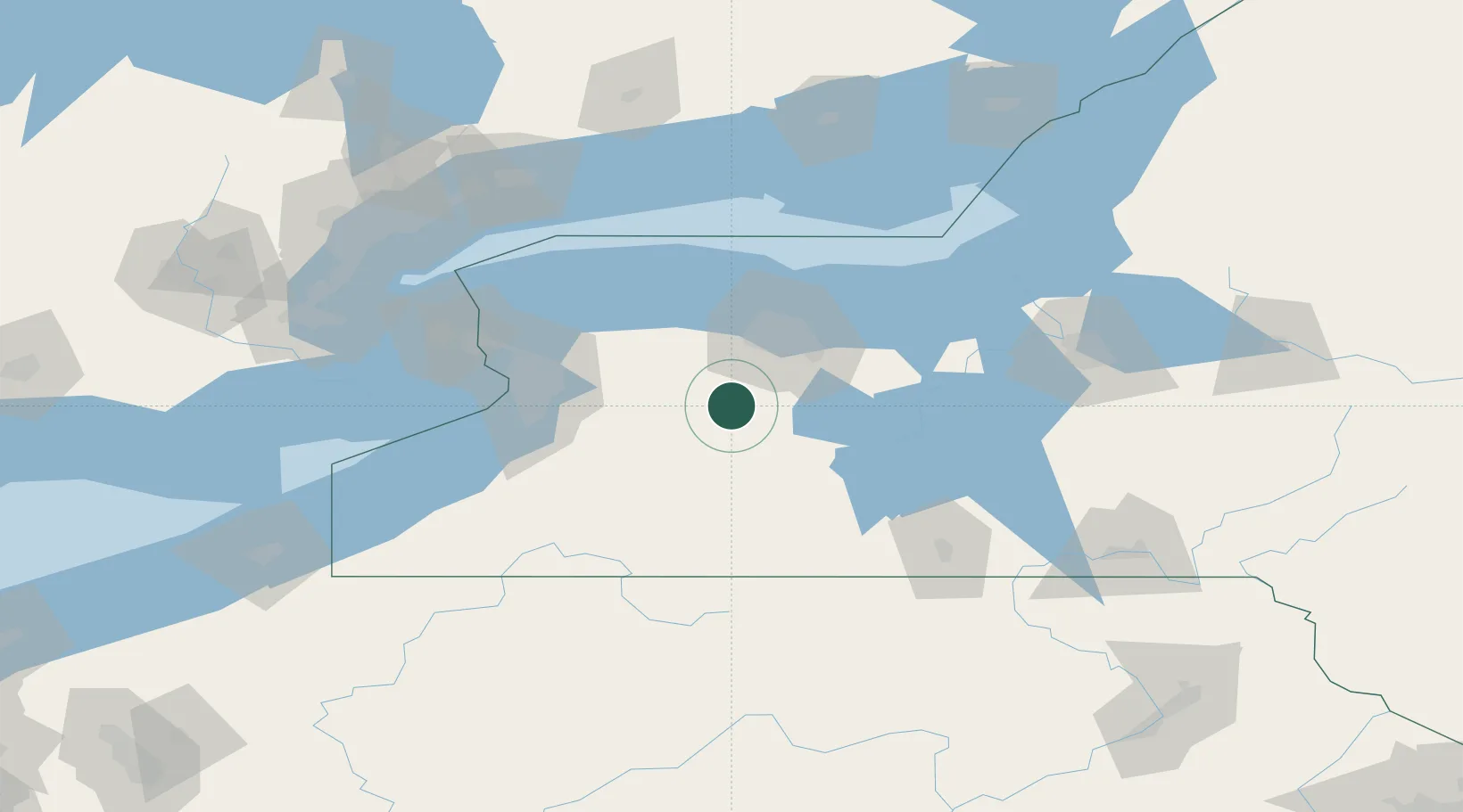
Populated place
Region
New York
Population
220
Time zone
America/New_York
Elevation
173 m
Location
Nearby Logistics Neighbours
Cities
- 1Mount Morris11 km
- 2Perry18 km
- 3Warsaw24 km
- 4Scottsville24 km
- 5Castile28 km
Airports
Trade Zones
- 1FTZ No. 289 Ontario County23 km
- 2FTZ No. 141 Monroe County53 km
- 3FTZ No. 023 Buffalo84 km
- 4Niagara Foreign Trade Zone102 km
- 5FTZ No. 034 Niagara County117 km
DatabookThe Record of Consolidated Knowledge
United States beyond logistics?