Transport Functions
Port
Road
Hub Profile
Place type
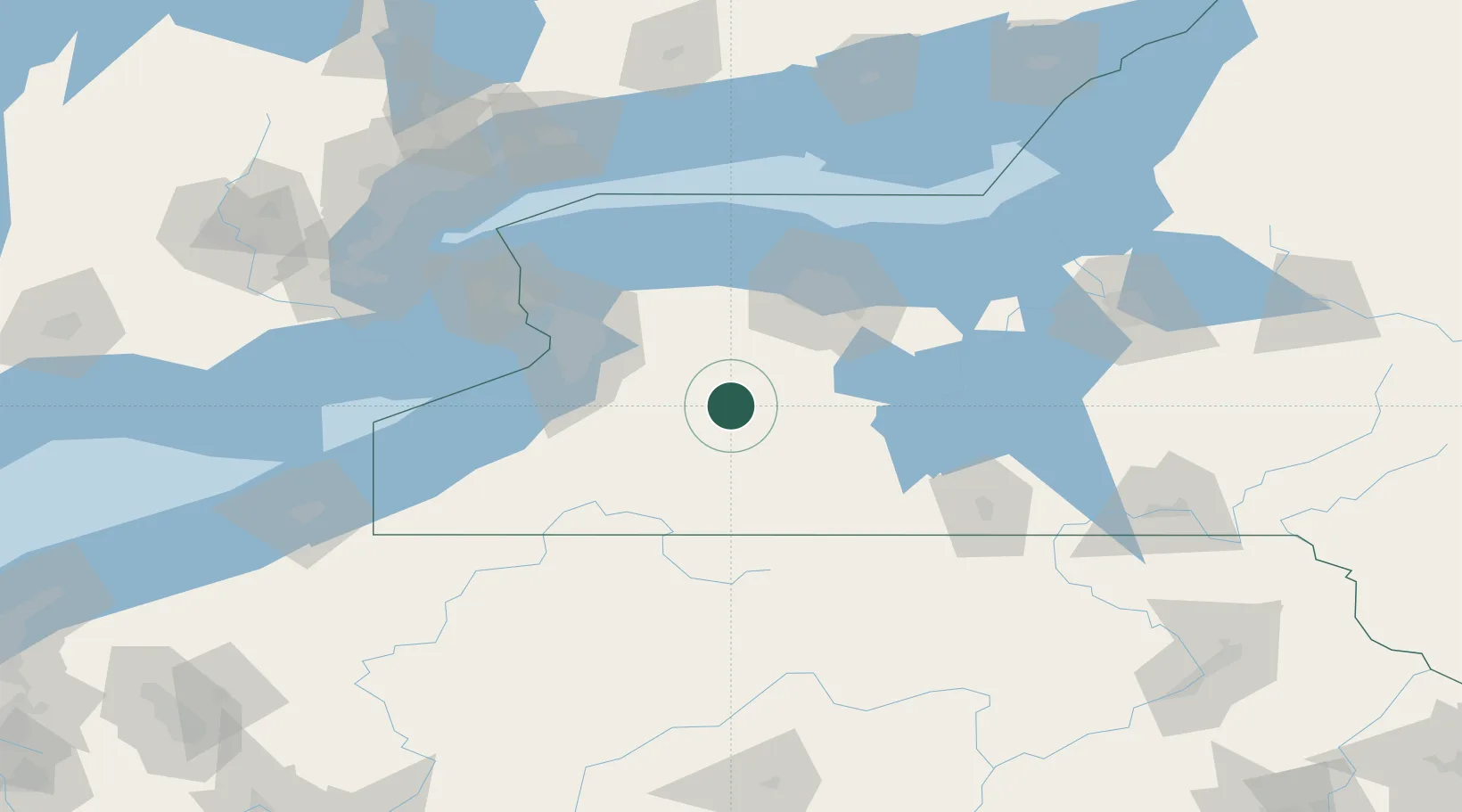
Populated place
Region
New York
Population
986
Time zone
America/New_York
Elevation
413 m
Location
Nearby Logistics Neighbours
Cities
- 1Portageville6 km
- 2Perry10 km
- 3Warsaw14 km
- 4Mount Morris19 km
- 5Piffard28 km
Ports
- 1Buffalo74 km
- 2Rochester81 km
- 3Tonawanda82 km
- 4Port Colborne102 km
- 5Queenston103 km
Airports
Trade Zones
- 1FTZ No. 289 Ontario County45 km
- 2FTZ No. 023 Buffalo73 km
- 3FTZ No. 141 Monroe County75 km
- 4Niagara Foreign Trade Zone97 km
- 5FTZ No. 034 Niagara County117 km
DatabookThe Record of Consolidated Knowledge
United States beyond logistics?