Transport Functions
Multimodal
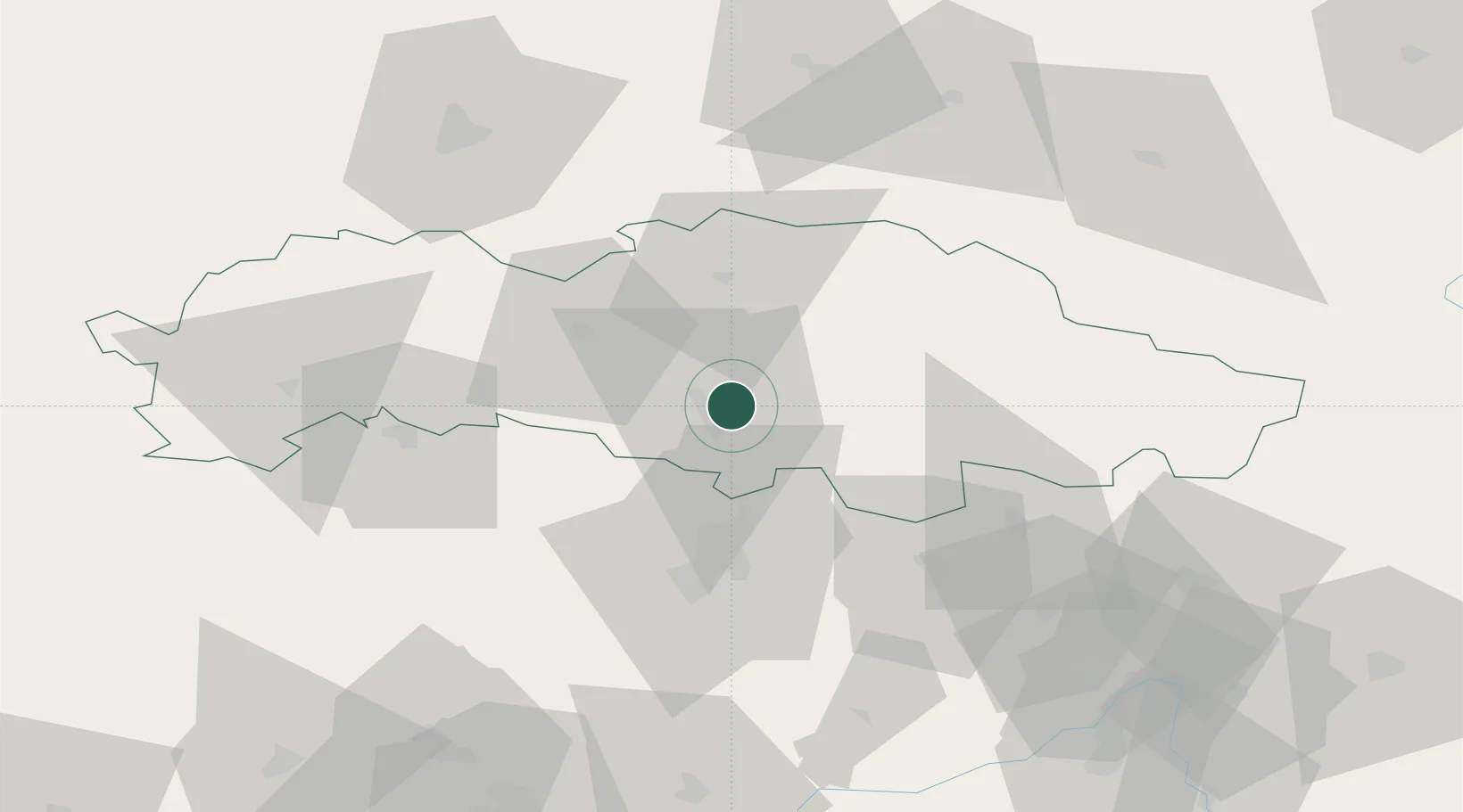
Hub Profile
Place type
Populated place
Region
Prešov Region
Population
3,684
Time zone
Europe/Bratislava
Elevation
268 m
Location
Nearby Logistics Neighbours
Cities
- 1Kapusany5 km
- 2Petrovany11 km
- 3Hanusovce nad Topl'ou16 km
- 4Sabinov16 km
- 5Lipany27 km
Ports
- 1Gdansk620 km
- 2Nowy Port627 km
- 3Baltiysk632 km
- 4Kaliningrad634 km
- 5Gdynia642 km
Airports
Trade Zones
DatabookThe Record of Consolidated Knowledge
Slovakia beyond logistics?