Transport Functions
Rail
Road
Hub Profile
Place type
Provincial seat
Region
Prešov Region
Population
30,267
Time zone
Europe/Bratislava
Elevation
283 m
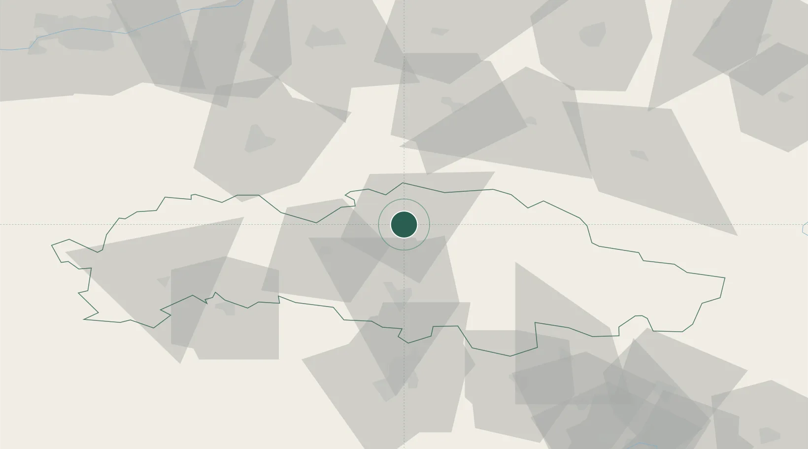
Location
Nearby Logistics Neighbours
Ports
- 1Gdansk591 km
- 2Nowy Port598 km
- 3Baltiysk602 km
- 4Kaliningrad605 km
- 5Gdynia613 km
Airports
Trade Zones
DatabookThe Record of Consolidated Knowledge
Slovakia beyond logistics?