Transport Functions
Port
Hub Profile
Place type
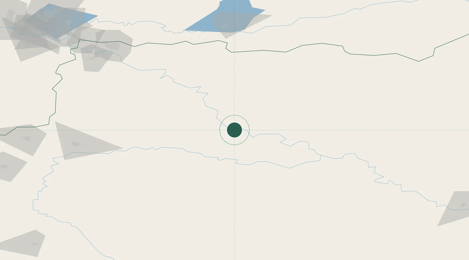
Populated place
Region
Tomsk Oblast
Time zone
Asia/Tomsk
Elevation
81 m
Location
Nearby Logistics Neighbours
Cities
- 1Vertikoye20 km
- 2Narym139 km
- 3Koltogorskiye169 km
- 4Nizhnevartovsk224 km
- 5Kolpashevo242 km
Ports
- 1Igarka952 km
- 2Dudinka1146 km
- 3Port Dikson1558 km
- 4Bandar-E Mahshahr3940 km
- 5Bandar Khomeyni3947 km
Airports
- 1Strezhevoy Airport166 km
- 2Nizhnevartovsk Airport228 km
- 3Surgut International Airport388 km
- 4Kogalym International Airport399 km
- 5Nefteyugansk Airport413 km
Trade Zones
DatabookThe Record of Consolidated Knowledge
Russia beyond logistics?