Transport Functions
Port
Hub Profile
Place type
Populated place
Region
Tomsk Oblast
Time zone
Asia/Tomsk
Elevation
54 m
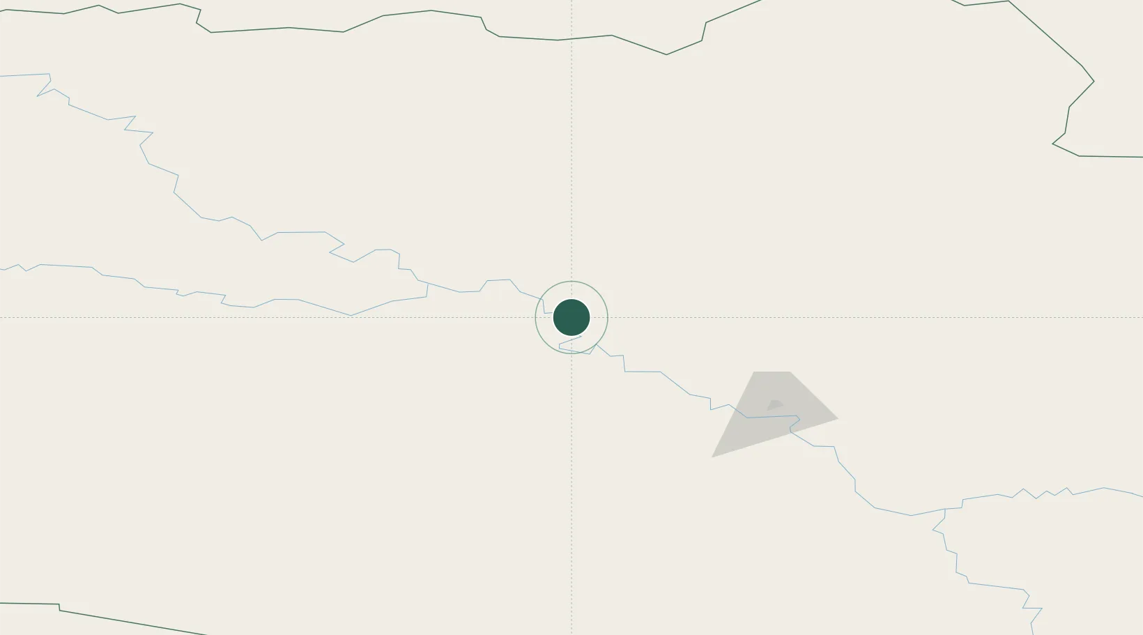
Location
Nearby Logistics Neighbours
Cities
- 1Kolpashevo104 km
- 2Vertikoye120 km
- 3Prokhorovskiy139 km
- 4Mogochin179 km
- 5Lugovoye186 km
Ports
- 1Igarka982 km
- 2Dudinka1186 km
- 3Port Dikson1623 km
- 4Bandar-E Mahshahr3993 km
- 5Bandar Khomeyni4001 km
Airports
- 1Strezhevoy Airport296 km
- 2Tomsk Kamov Airport355 km
- 3Nizhnevartovsk Airport363 km
- 4Yeltsovka Airport434 km
- 5Novosibirsk Tolmachevo Airport438 km
Trade Zones
DatabookThe Record of Consolidated Knowledge
Russia beyond logistics?