Transport Functions
Rail
Road
Hub Profile
Place type
Provincial seat
Region
Novgorod Oblast
Population
15,910
Time zone
Europe/Moscow
Elevation
129 m
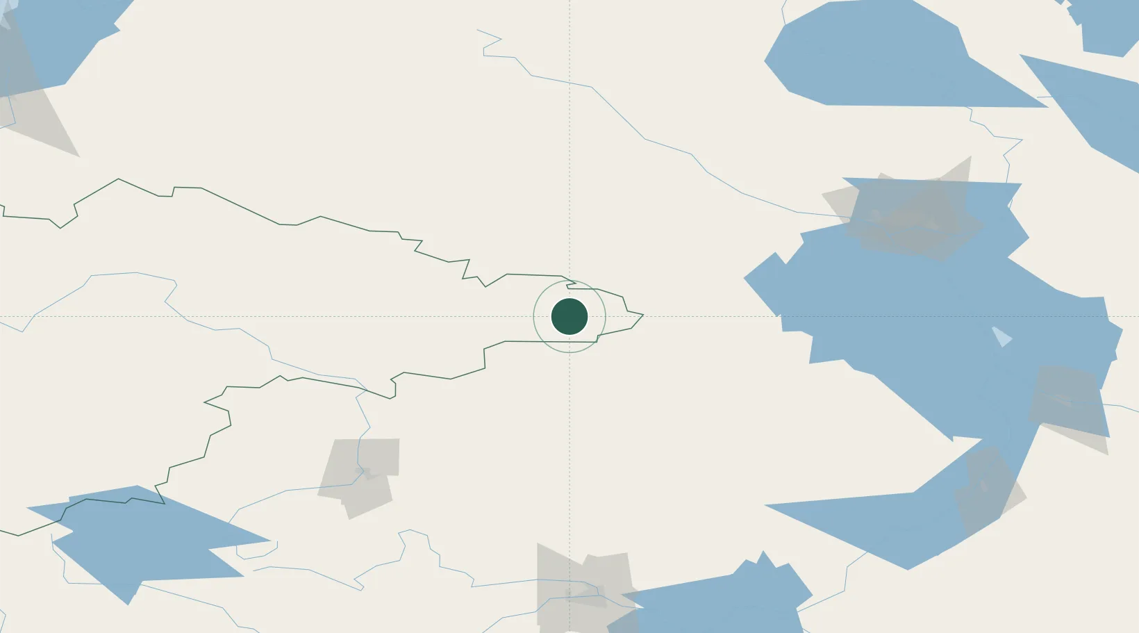
Location
Nearby Logistics Neighbours
Cities
- 1Vyshniy Volocheck133 km
- 2Okulovka146 km
- 3Boksitogorsk148 km
- 4Kashin174 km
- 5Tihvin174 km
Ports
- 1Lomonosov373 km
- 2Kronshtadt375 km
- 3Ust Luga443 km
- 4Primorsk450 km
- 5Vyborg461 km
Airports
- 1Khotilovo Air Base143 km
- 2Cherepovets Airport149 km
- 3Staroselye Airport191 km
- 4Migalovo Air Base196 km
- 5Fedotovo Naval Air Base203 km
DatabookThe Record of Consolidated Knowledge
Russia beyond logistics?