Large airport · Maldives
Velana International AirportVRMM
4.1918°, 73.5291°
11,155 ft
Longest runway
1
Runways
6 ft
Elevation
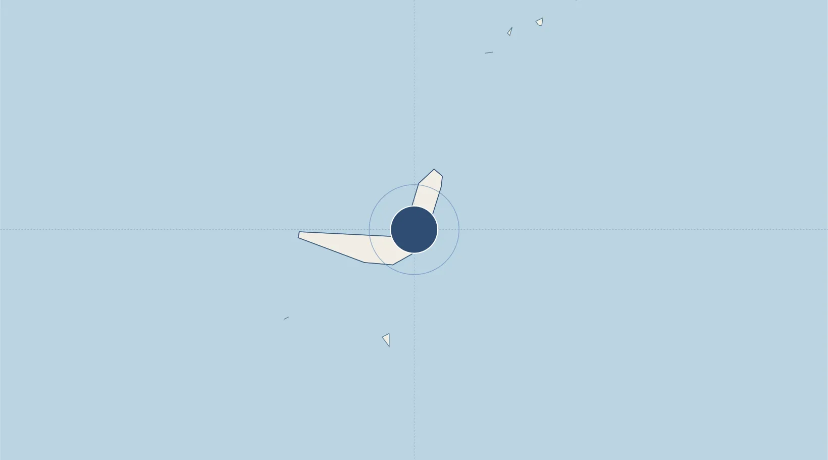
Runway & Layout

Radio Frequencies
TWR
118.1 MHz
GND
121.6 MHz
APP
119.7 MHz
Navaids
ML NDB Male 252 kHz
MLE VOR-DME Male 114.70 MHz
Runways · 1
| Runway | Dimensions | Surface | True heading | Lit |
|---|---|---|---|---|
| 18/36 | 11,155 × 197ft | Asphalt | 179° | ✓ |
Airport Specifications
IATA code
MLE
ICAO code
VRMM
Airport class
Large airport
Scheduled service
Yes
Runway surface
Asphalt
Served city
Malé
Location
Nearby Logistics Neighbours
Airports
- 1Villa International Airport Maamigili111 km
- 2Dharavandhoo Airport116 km
- 3Maafaru International Airport181 km
- 4Funadhoo Airport221 km
- 5Thimarafushi Airport224 km
Cities
- 1Hulhulé Island2 km
- 2Male' Commercial Harbor4 km
- 3Male4 km
- 4Maldive Gas9 km
- 5Coastline Private Port9 km
Ports
- 1Male4 km
- 2Trivandrum609 km
- 3Quilon (Kollam)620 km
- 4Kochi (Cochin)708 km
- 5Tuticorin725 km
DatabookThe Record of Consolidated Knowledge
Maldives beyond logistics?