UN/LOCODE hub · Italy
ITWAO

Cassaro

37.1167°, 14.9333°
782
Population
1
Transport functions

Transport Functions

Multimodal
UN/LOCODE

Hub Profile

Place type
District seat
GeoNames
Region
Sicily
GeoNames
Population
782
GeoNames
Time zone
Europe/Rome
GeoNames
Elevation
550 m
GeoNames

Location

Location of ITWAO
Natural Earth 10m (public domain) · Sicily · ITWAO · 37.12, 14.93GoogleOSMYandex

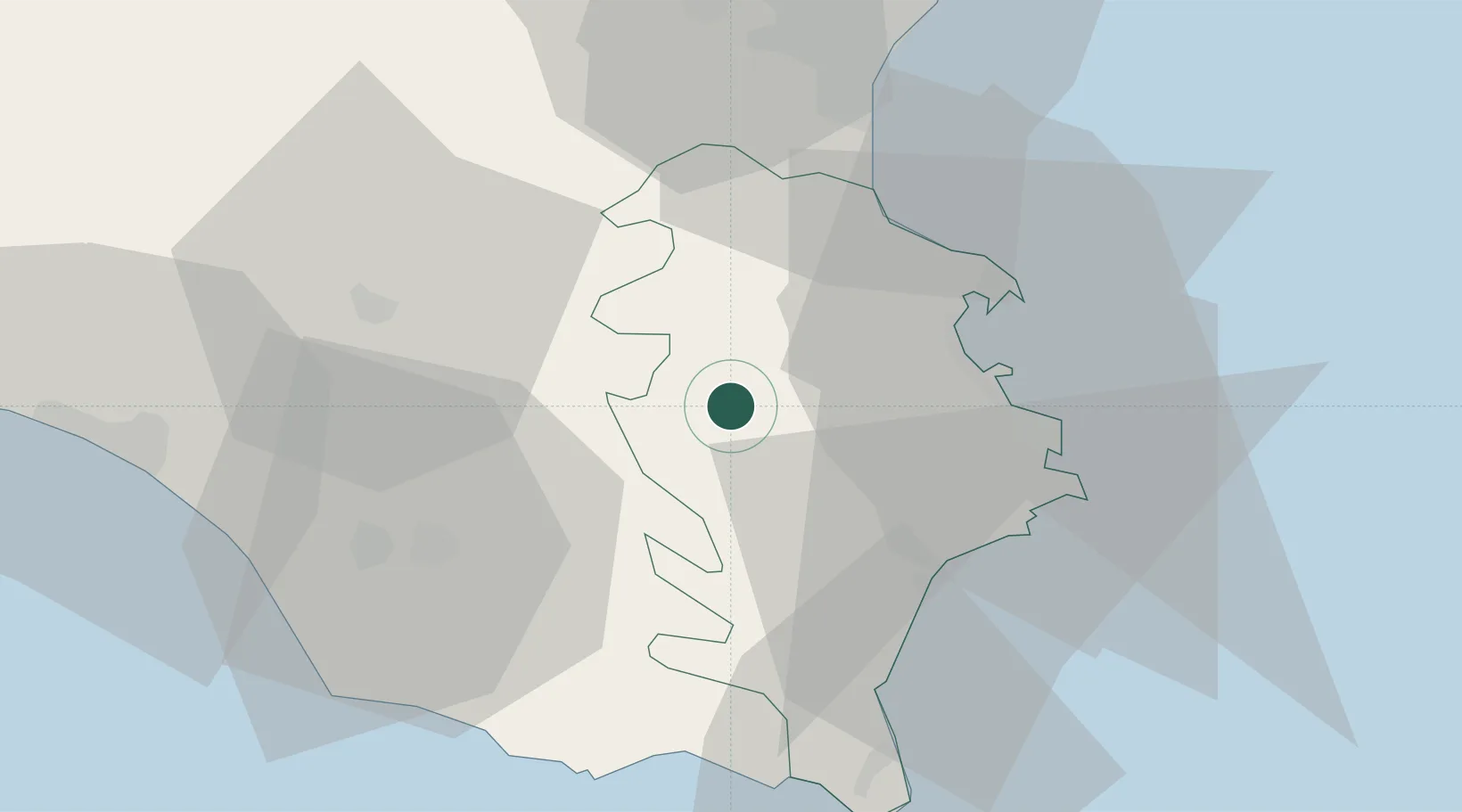
Nearby Logistics Neighbours

Cities
  1. 1Palazzolo Acreide6 km
  2. 2Francofonte14 km
  3. 3Floridia20 km
  4. 4Scordia22 km
  5. 5Priolo Gargallo23 km
Nearest neighbours — logibook spatial index (haversine) over the source coordinates
Ports
  1. 1Augusta29 km
  2. 2Siracusa32 km
  3. 3Santa Panagia33 km
  4. 4Pozzallo45 km
  5. 5Catania45 km
Nearest neighbours — logibook spatial index (haversine) over the source coordinates
Airports
  1. 1Sigonella Navy Air Base32 km
  2. 2Comiso Airport32 km
  3. 3Catania-Fontanarossa Airport41 km
  4. 4Reggio Calabria Airport124 km
  5. 5Xewkija Heliport135 km
Nearest neighbours — logibook spatial index (haversine) over the source coordinates
Trade Zones
  1. 1Sicily Special Economic Zone Area76 km
  2. 2Malta Freeport149 km
  3. 3Calabria Special Economic Zone269 km
  4. 4Basilicata Special Economic Zone382 km
  5. 5Campania Special Economic Zone (Naples and Salerno)418 km
Nearest neighbours — logibook spatial index (haversine) over the source coordinates
DatabookThe Record of Consolidated Knowledge
Italy beyond logistics?
Browse databook

All Sources

LocationsUN/LOCODE
UN/LOCODE — free
LocationsGeoNames
CC BY 4.0
Portsthe NGA World Port Index
Public domain (US gov)
AirportsOurAirports
Public domain
Trade Zonesthe World Bank SEZ database
CC BY 4.0
Trade ZonesOpen Zone Map
CC BY
← Italy locations