UN/LOCODE hub · Italy
ITCTA
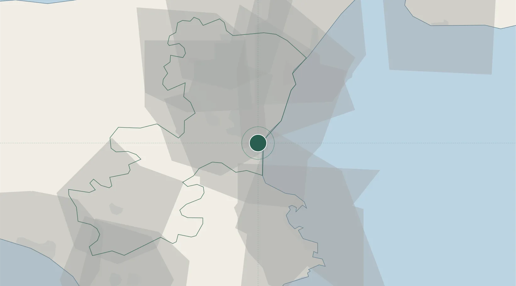
Catania
37.4828°, 15.0755°
311,584
Population
1
Transport functions
1
Container terminals
Transport Functions
Port
Hub Profile
Place type
Provincial seat
Region
Sicily
Population
311,584
Time zone
Europe/Rome
Elevation
7 m
Logistics facilities
3
Container terminals
1
Location
Nearby Logistics Neighbours
Cities
- 1Aci Castello9 km
- 2Valverde10 km
- 3Camporotondo Etneo10 km
- 4San Pietro Clarenza11 km
- 5Tremestieri Etneo11 km
Ports
- 1Riposta30 km
- 2Augusta33 km
- 3Giardini Naxos42 km
- 4Santa Panagia50 km
- 5Siracusa52 km
Airports
- 1Catania-Fontanarossa Airport2 km
- 2Sigonella Navy Air Base16 km
- 3Comiso Airport68 km
- 4Reggio Calabria Airport83 km
- 5Palermo-Boccadifalco Airport170 km
Trade Zones
DatabookThe Record of Consolidated Knowledge
Italy beyond logistics?