Transport Functions
Road
Multimodal
Fixed Transport
Hub Profile
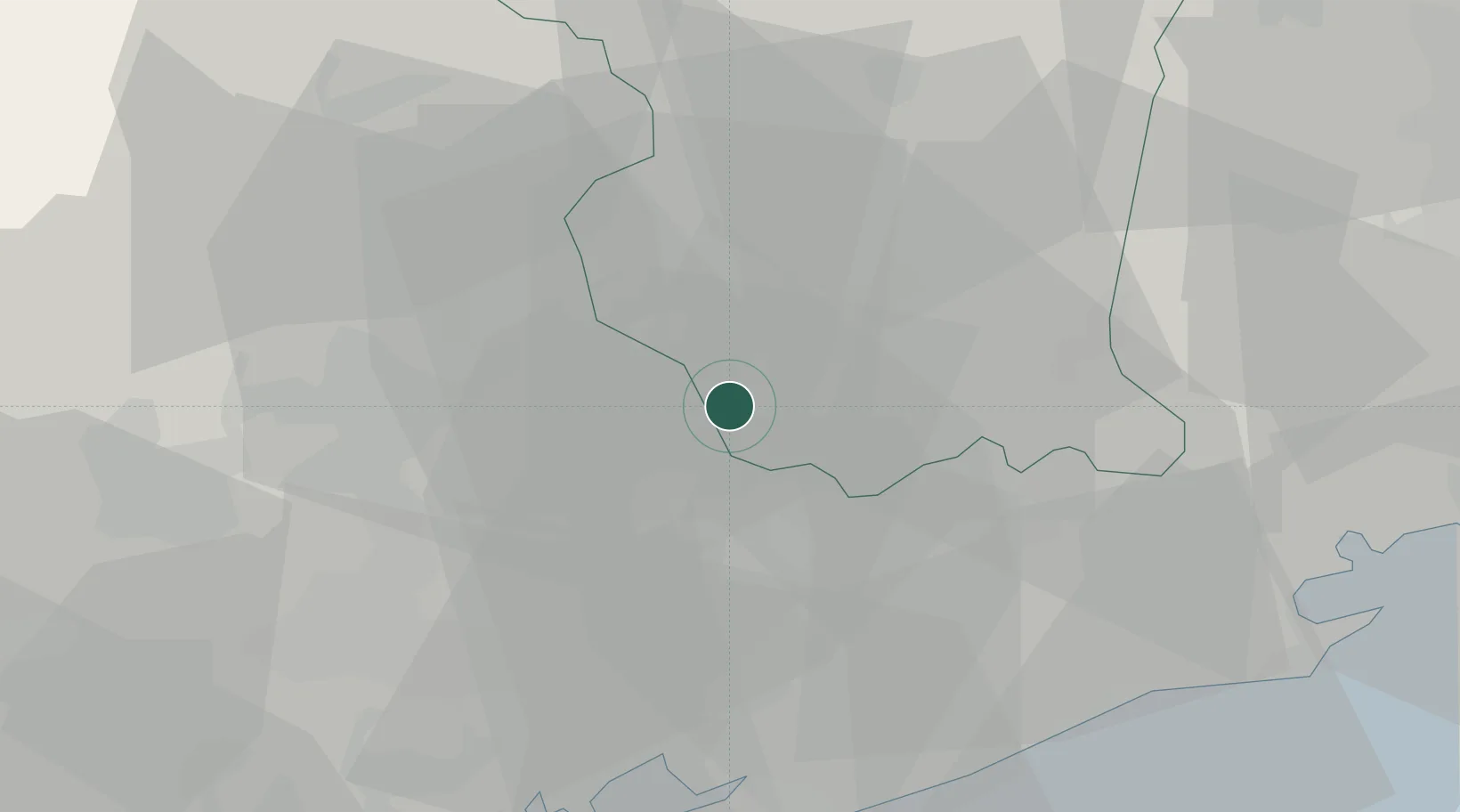
Place type
Populated place
Region
Friuli Venezia Giulia
Time zone
Europe/Rome
Elevation
12 m
Location
Nearby Logistics Neighbours
Cities
- 1Villanova di Prata2 km
- 2Portobuffolè5 km
- 3Ghirano6 km
- 4Navole9 km
- 5Meduna di Livenza10 km
Ports
- 1Nogaro49 km
- 2Porto Di Lido-Venezia53 km
- 3Grado60 km
- 4Porto Di Chioggia75 km
- 5Monfalcone77 km
Airports
- 1Aviano Air Base17 km
- 2Udine-Rivolto Air Base39 km
- 3Treviso Airport39 km
- 4Istrana Air Base43 km
- 5Venice Marco Polo Airport45 km
Trade Zones
DatabookThe Record of Consolidated Knowledge
Italy beyond logistics?